Categories
PCT OR Section G

Oct. 14: Cascade Locks and the Climb out of the Columbia Gorge

Following a long morning of gathering and packing right up to the time I was supposed to check out by, I set out into the tiny town of Cascade Locks to buy some snacks for breakfast and some Emergen-C for my daily vitamin D supplement.

The grocery store didn’t have any vitamin D in any form (but it did have pickle chips, yum!), the convenience store across from it didn’t have any, and the other convenience store was closed while glass was being installed and wouldn’t do curbside delivery, but probably didn’t have any either. That was every store within five miles, so after eating the food I had bought, I set out for the trail without the supplement.

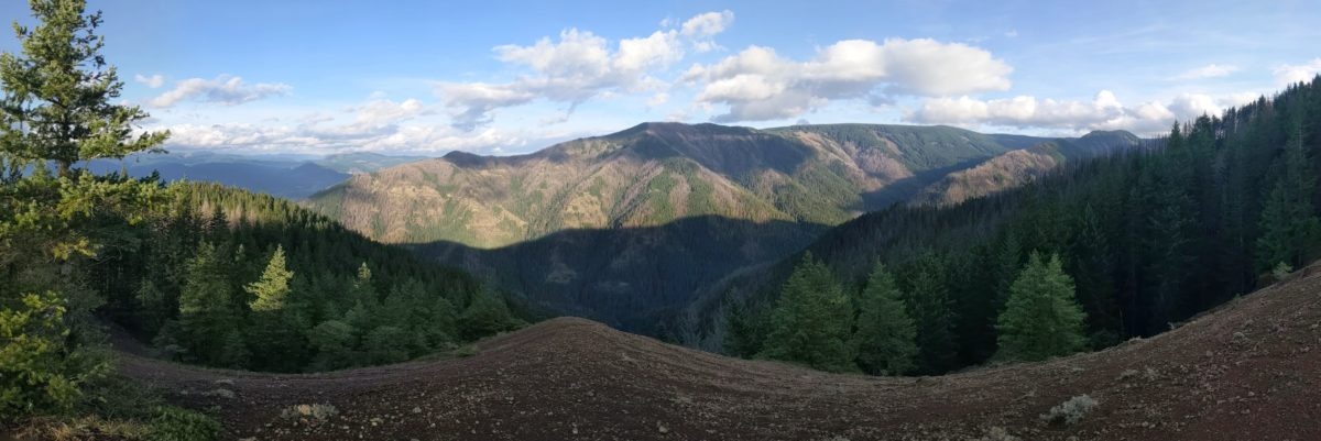
The trail picks up under a bridge above the Bridge of the Gods and immediately starts climbing up the side of the gorge. I was climbing out with a full pack and not really feeling motivated or particularly speedy. Then another hiker coming out for a long weekend trip came up behind me. We started chatting and I sped up to keep his pace to the top of the gorge and along the plateau beyond. He stopped at the first tent site, a little nook on the edge of the hill in the trees, but I kept going. I stopped in a clearing to do my nightly text in case the trees were thick at my final destination, then continued down to a trail junction with a bunch of downed trees in the saddle near it overlooking the remnants of a fire. It was supposed to be a campsite. So I camped. The last light of dusk was disappearing when I started, so I got set up by headlamp light. I remember it being a pretty cold night, but not below freezing.

Total distance: 17 miles

A different sort of cornhole?
The toll plaza and PCT marker at Bridge of the Gods
When the snag forces you to crawl under
Categories
PCT WA Section H

Oct. 13: The Soaked Slog/Table Mountain/End of Washington

In spite of my goals, I kind of wanted to sleep in because it was still raining when it was time to get up. Eventually, though, it couldn’t be helped. I had to get ready in the rain.

I had picked a terrible spot to camp. Water pooled into mud under my tent and in the bathtub bottom as well. The towel slid off the inner tent and out into the rain and was thoroughly soaked. So I packed everything up muddy and wet and hiked off myself in the same condition.

The day would clear up, rapidly in fact, but I had no time to enjoy it. The time to enjoy it would come when I arrived back at the Bridge of the Gods Motel, more than 20 miles away. Having already paid for my room, stopping short was not an option. Nor did I want to spend the night in the woods again. A warm, dry motel room and a laundromat meant I could get all my things dry and clean before beginning Oregon.

I can’t deny the section included many beautiful scenes. The dampness and the autumn colors really combined into something special. But, aside from a brief break for lunch, I didn’t want to stop for a moment. Stopping let the cold seep in and the pain come up. I didn’t even really drink anything the entire afternoon, though I never felt dehydrated either.

Once, coming down from Table Mountain, I missed a turn and ended up following an old road I thought was the trail halfway down the hill before I realized my mistake. The first trail I came to that promised to connect back seemed to cut steeply back up the hill, so I tried to follow an even older road directly across the hill. I only got a few hundred yards before the jumbled snags across it got too thick to make any reasonable progress, and I turned back. I continued down the road until it met another old, overgrown, but largely clear road that met the trail a little over a mile down from where I left it. The detour probably cost me an extra half mile at the least.

A mile or two later, the sun started disappearing. I didn’t want to stop to get out my headlamp, so I just kept marching into the dark. When the trail came alongside the road, it got much harder to see the trail, but I could see the sky sometimes and that helped. Eventually, the trail popped out onto the road just across from the Bridge of the Gods, and I crossed that grid of metal on the edge of the road, facing the occasional cars and trucks that shared the span.

Fifteen minutes later, I was picking up my room key and dropping all my things in my room. I turned up the heater, laid some wet things on it, took off my boots, and put on dry socks, camp shoes, and a jacket and went straight across the street to Thunder Island Brewing. Food was top priority. It was already 8pm. If I had waited until after I had taken a shower, I might miss dinner service.

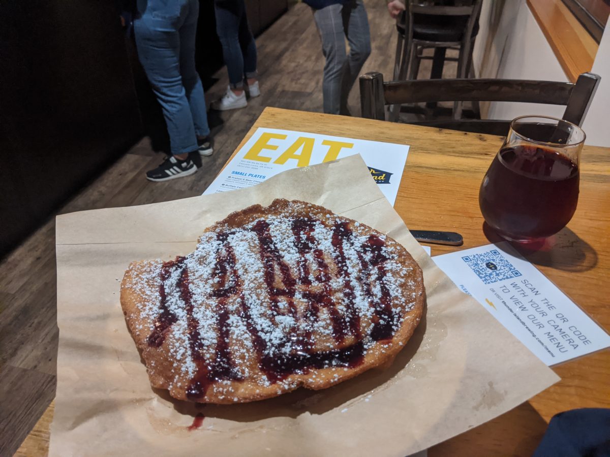
Dinner and beer and a helping of fried dough for dessert hit the spot. I had enough energy to do the rest of what needed to be done that night: claim my bear can (and attached shampoo), take a shower, and run a couple of loads of laundry at the motel’s laundromat. When I went to bed I still had wet things on and above and around the heater. I vowed to sleep in and push packing out until the last moment the next morning.

Total distance: 22 miles

Trail progress: 20.5 miles

Categories
PCT WA Section H

Oct. 12: A Short Day for a Wet Night

The plan was for Meaghan to give me a ride back to the trail with a couple of stops on the way. She had to work that day too, so I was hoping I wouldn’t put her out more than a couple of hours.

After a tearful (not really) goodbye with Jordan, we drove to the nearby UPS Store to get my food packages sent. There was no line when I got there, soon after opening, but by the time I had gotten all my food boxed and addressed and paid for, there was a line halfway down the sidewalk outside (which means about five people once you account for the six feet of space between each person). Then I swung by the adjacent Trader Joe’s for breakfast. The only suitable pre-made food I could find was pumpkin donuts. I shared them with Meaghan, along with some of the peanut butter cups they sold at the register. I also bought a sandwich for that day’s lunch at Jimmy John’s.

Next, we drove the Columbia River Gorge on the Oregon side to Cascade Locks, where I left my bear can full of food and reserved a room for the following night at the Bridge of the Gods Motel. This arranged, we drove across aforementioned bridge, waited on the road work again, and finally reached the place I had been picked up. All these errands put together with the driving time ended up taking three hours. It was nearly lunchtime by the time I was back on the trail. Good thing Meaghan had rescheduled her meetings for the afternoon.

There isn’t much to say about the day’s hike really. I went down to and across the Wind River first thing, then followed the trail as it squeezed through a narrow corridor between private property and roads. After a few road crossings, I stopped on a random log in the woods to eat my sandwich. Then I started climbing a long steep hill. It wasn’t too taxing I was only carrying one day’s food.

It was dark as I arrived in the small campsite next to the creek at the bottom of the other side of the hill. I set up my tent and pulled everything inside with as much haste as I could muster in anticipation of the coming rain. It rained all night and I mostly stayed dry. I had an idea of leaving my towel on the outside of the inner tent above my head to catch any condensation dripping down, but that would turn out to be a bad idea. But the damp around me didn’t affect my sleep at all. I slept quite well.

Total distance: 12.5 miles

Highly recommend these for anyone living near a Trader Joe’s
Categories
Off-trail PCT WA Section H

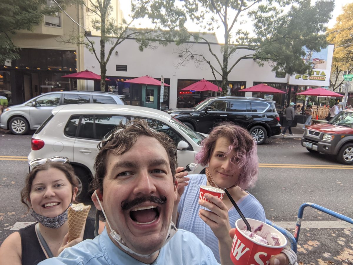
Oct. 9-11: Weekend at Curry’s
Once again, I will be covering multiple days in a single post in lighter detail because this is a trail blog, which means off-trail is off-topic.

Categories
PCT WA Section H

Oct. 8: The Slug

As previously mentioned, the fog that rolled in overnight covered everything in condensation. My tent was soaked and the trees were dripping like rain. In fact, I thought it was rain at first, and stopped to put on my packa shortly after leaving camp. The sun was only just coming up and I was walking out under headlamp light.

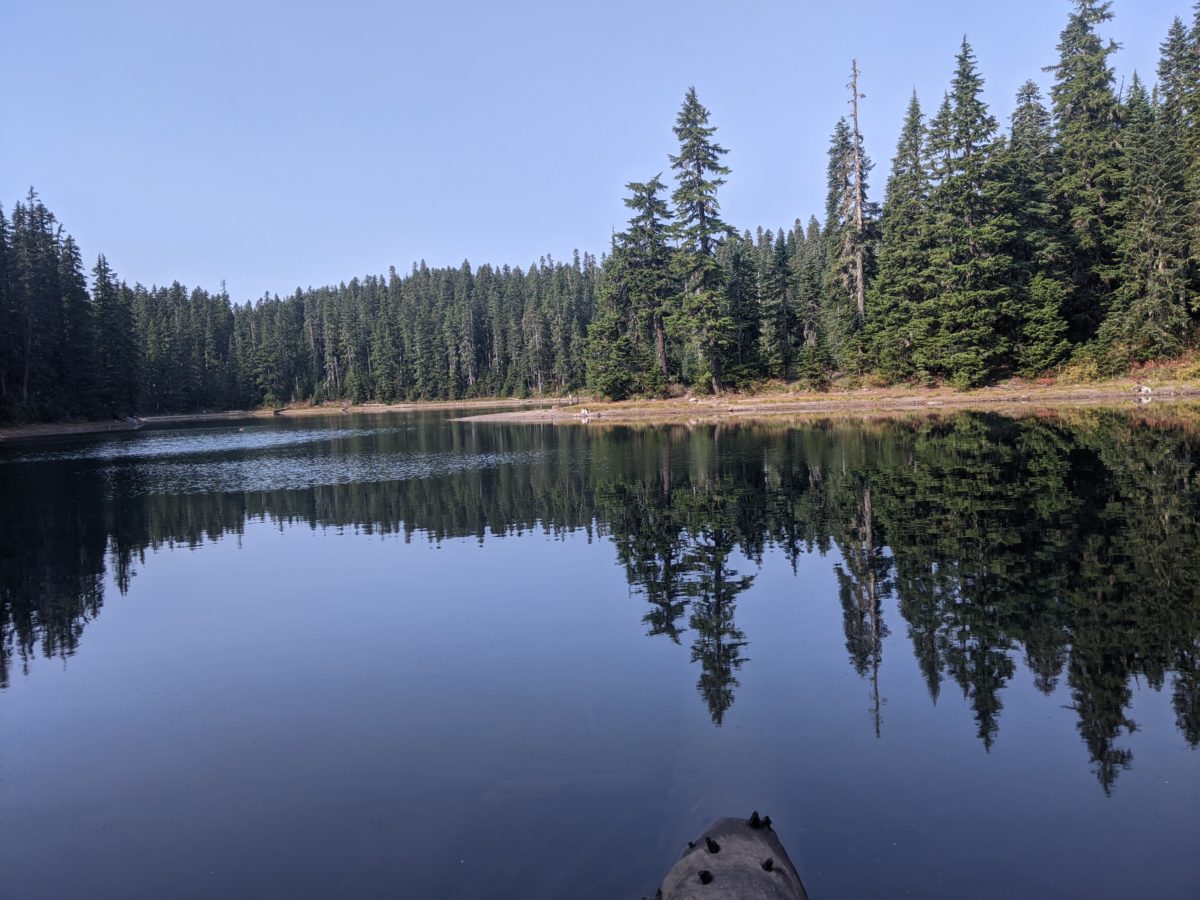
Coming around the lake to the PCT, I made a wrong turn and wound up in a campsite with a single tent. The man inside, probably half asleep, shouted “Too warm!” I snuck away the way I had come in and tried not to make any noise, but I was thinking “If you’re too warm, you ought to come out here. I’m freezing!”

The first little bit of trail was pretty annoying, following the side of a ridge with frequent deadfalls across it. Some required climbing the hill to get around. I was glad to see the trail turn and begin descending from the ridge.

After 4 miles, I stopped at a tiny pond called Green Lake to collect some water. At this point, it was apparent that our was going to be a warm sunny day, so I put up my packa. Then the trail wandered along on a level, through some meadows, past a trailhead with a pit toilet (hurray!), and alongside a vast lava field to a tiny spring with a pipe stuck in it pouring water onto the trail. I stopped here for lunch and incorporated the spring water into said lunch.

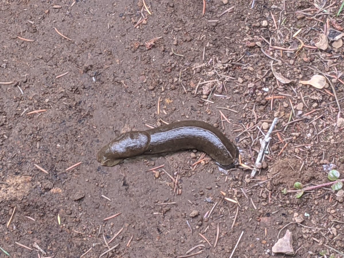
Soon after this, I encountered my first full size Washington slug. It wasn’t as big as a banana slug, but it was big enough that you would want to eat it on a bun instead of a toothpick if it were made of beef. Apparently the slugs in Washington are just like that. I’m surprised I hadn’t seen one sooner.

The trail then climbed back up onto a ridge covered by taller, thicker trees. It remained like that for the next 9 miles with only the occasional nice views. I had to play games with myself to keep me hiking at full speed. Eventually, I stopped to dry camp in a tiny nook beside a little used dirt road. But the important thing was that I would be able to arrive early at my pickup point the following morning. Wind River Highway was only 6 miles away.

Total distance: 20 miles

Categories
PCT WA Section H

Oct. 7: Indian Heaven

This time I got another decently early start. Even with collecting water, I still managed to get hiking by 8am.

From the start, the trail was always edging uphill, but not very steeply. So my pace was quite rapid. And it soon entered a wide open sandy burnt-out section. By 11am or so, I had gone the 9 miles to the Sawmill Mountain Trailhead entering the Indian Heaven Wilderness. There was a rare PCT log book here in an ammo can. As I signed it, I noted that Pop Tart and Nobody had come through six days before and had left a phone number. I took it down but never called.

Somewhere in this first section, I talked to my last pair of elk hunters, asking if I had seen any elk. I had just recently seen one out of the corner of my eye way down the hill but it may have been a cow. I told them about the successful hunter from the day before, but that I hadn’t even seen any sign on the trail or heard any bellows all day. I wished them luck. They would need it, since it was their last day out.

By noon, I was edging up the side of Sawmill Mountain and met two women hiking together. I didn’t want to slow down much to talk to them as I had set myself a goal to not stop until the next trail junction for lunch. But while I was eating lunch there, they passed again. I caught up to them again shortly after when they stopped for a snack and we had a discussion about what could be seen in the wilderness and where they would be hiking. I had already decided to camp at Blue Lake, but they persuaded me to take some side trails on the way there.

The day hikers started to get thicker from this point on. I’ll omit all the ones I stopped to have short conversations with from here on. There were a lot more that I didn’t though. There were just way too many people wandering around the area that day.

By a little after 2, I had reached Bear Lake, having descended from the PCT to the water’s edge for collection and filtration and a snack break. I did not return to the PCT, instead descending a hill to a trail that promised to cross a number of nice meadows and pass a spate of ponds.

And that’s what it did. It wasn’t always the easiest trail, but it offered plenty of nice views. The last 4 miles of the day’s walk as the sun slowly descended seemed to last as long as the entire day leading up to it just because of the many sights it offered. It became apparent why the area was so popular.

The trail eventually arrived back at the western edge of Blue Lake. I decided I wanted to camp there, figuring the other camp sites around the lake would be more popular. There was a pack sitting at the campsite as if someone else were planning to camp there, so I took the spot farthest from the water to give them the choice of the premium sites (and also reduce my chances of condensation). Eventually, a man showed up and took away the pack, saying they had decided to camp elsewhere. So I had a site to myself at a very popular destination. Nice.

The wind picked up overnight and a fog rolled in. By morning, it was an awful lot like rain.

Total distance: 19 miles

Trail progress: 18 miles

Categories
PCT WA Section H Uncategorized

Oct. 6: Tuesday Morning Coming Down

I may have slept in a bit and not gotten up until sunup, but I wasn’t going to let that cut my hiking short on a day when the hike was mostly downhill.

The hiking started out level around the mountain, across lava fields and rock piles, through the burnt remnants of forests, rock hopping over the milky glacial rivers.

About two hours in, I stopped for a snack in front of a small cave. It was nice to have a bit of cool air to contrast with the direct sunlight on this exposed section. I thought about crawling inside, but I could see it didn’t go anywhere.

After nine miles, the trail was about to take a sudden hook to the right and down the mountain, so I found a tiny clearing among a tiny patch of living trees and made lunch.

Then it was hours of descent, straight down the side of the mountain, all exposed by fires of years past. There were views, sure, but it wasn’t particularly interesting terrain.

Some four miles later, I was nearly at the bottom of the descent. I passed an elk hunter climbing up the hill to his fresh kill just a couple miles in, ready to butcher and haul the second quarter to his truck. He was the first and only successful hunter I met.

Finally, after passing a quiet hipster with a camera and just before crossing FS 23, the road to Trout Lake, I stopped at the White Salmon River, more of a small creek, for another snack break.

But I wasn’t done for the day. I crossed the road and started another climb. It was fairly steep at first. On the way up, I passed a message. Someone had written “BEE” in pinecones right across the trail. Confused, I looked around but didn’t see any beehives or hear any buzzing. So I kept climbing. The trail got steeper. Huffing a bit, I stopped for a moment to stretch. Bees started pouring out of the ground right next to the trail. I canceled my break instantly and started running up the hill. Just before it leveled out again, I stepped over another pinecone message. “BEE” again, but written the other way so nobos could read it.

I sure climbed that hill fast.

At the top, I crossed a small open meadow with a number of good campsites. But I wasn’t done yet. By not collecting any water, I had committed myself to camping next to the next creek. And why not? There was still plenty of daylight to be had.

After a long level section, the trail hooked and climbed up over a saddle, then began another long winding descent, reminiscent of the one that had started the afternoon, but this time under cover of trees.

Finally, just as the last available light was disappearing, I crossed a creek and found myself at a large campsite with plenty of places to sit. I dropped my bag and went to fetch some water from the next creek (Trout Lake Creek) , then set about making supper by headlamp light.

It felt like the hiking would never end, but I had gotten enough done to be satisfied with my day. More importantly, I was exactly keeping to the camping schedule that I had reported on the self-issue permit coming into the wilderness.

Total distance: 20.5 miles

Categories
PCT WA Section H

Oct. 5: Mt. Adams

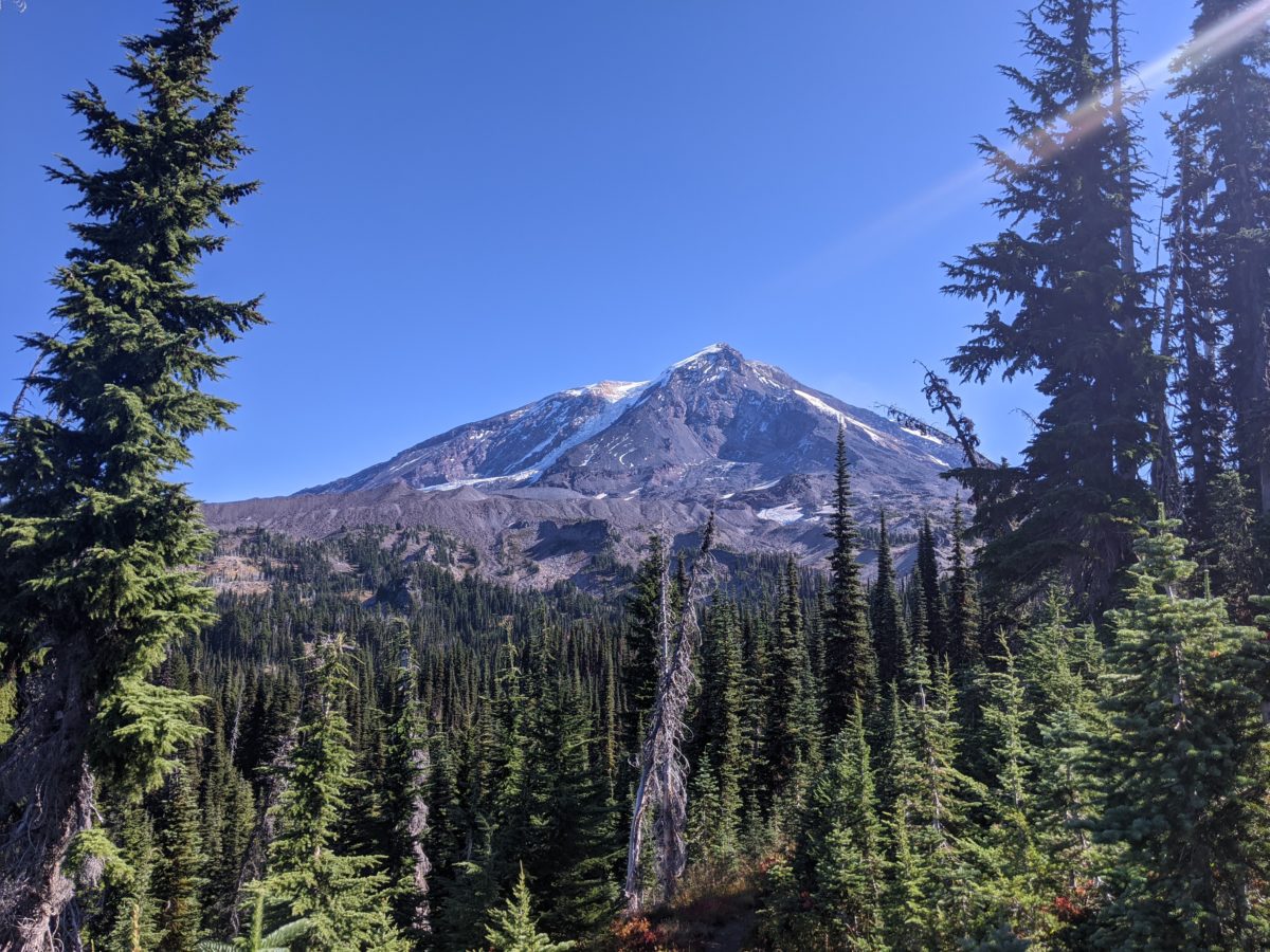
Got a good start around 8am for a relatively plain section to begin. Occasionally got some good views of the volcanos and some small ponds and lakes. Stopped for lunch on a rock beside a dirt road just outside the wilderness around noon, but nothing super interesting until mid afternoon, when the trail came alongside the lava field and Mt. Adams came into view.

At the end of the lava field was the aptly named Lava Spring, a spring worth seeing, but I continued up the hill to Muddy Fork Tributary to get a bit of water and eat a snack.

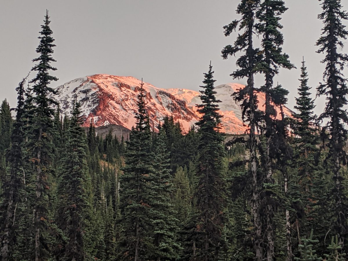
The rest of the day was a long gentle climb up the lower slopes of Mt. Adams before reaching the edge of a meadow where Killen Creek spills off into a lower meadow. Following a nearby side trail led to a huge flat sandy spot that dwarfed my little tent in the corner once I had set it up. Following the trail further led to a small waterfall tumbling off the side of the mountain. The views of the peak were incredible and the sound of the distant waterfall made sleeping here very peaceful.

Total distance: 20 miles

Categories
PCT WA Section H

Oct. 4: Knife Edge

The wind picked up all night, and it was annoying and cold by morning. I woke up at the crack of dawn, but it took a long time to get ready to go on account of the wind. It took the feeling out of my fingertips instantly if I removed my gloves and kept trying to undo my folds in the fabric things I was packing up. It was after 8am by the time I got out of camp.

By 9am, I had worked my way across the plateau and climbed up to the very ridge from which the goats had been watching me the night before. And as soon as I was up there, the wind struck me at triple force. There were only two places on the knife edge where rock barriers blocked the wind enough that I could stand still without freezing. I took a snack break at one of them.

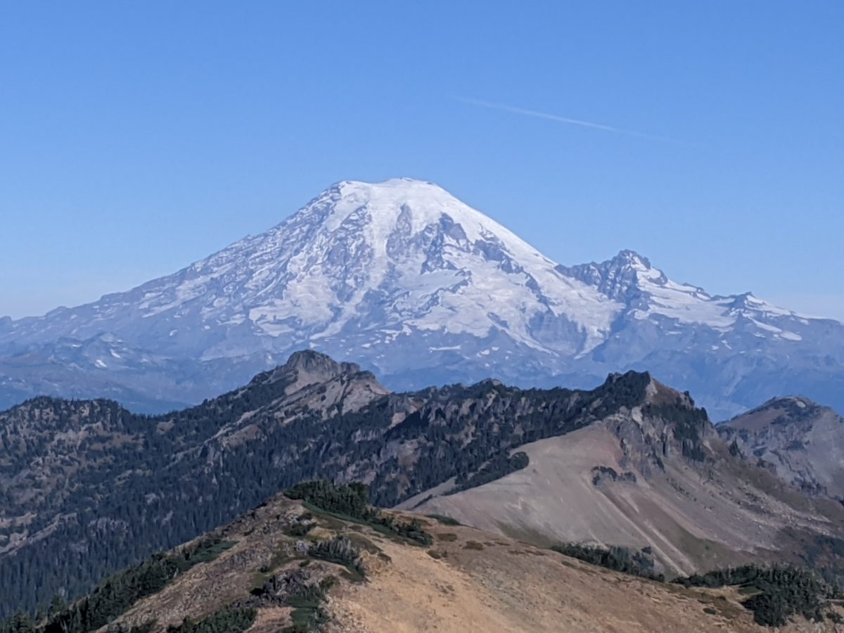
It was worth it for the views though. I was glad to be a southbounder at that moment because most of the northbounders must have arrived at this incredible place when the Clear Creek Fire was still pouring smoke into the air, obstructing those incredible views.

Just as the knife edge was ending, I met my first hiker, who asked if there was a clear cut place to turn around. I crossed the side of Old Snowy and there were more hikers returning from the peak. They warned me that the snow bank the trail crossed was solid ice at the beginning and very slippery. They passed me on the way down and proceeded to take an alternate route around the frozen pond and snowbank. But I just followed the trail across it no problem and got ahead of them again, staying ahead until they left the trail.

There were dozens of other hikers out, and tents stuck in random places all over the hillside. I took lunch in a campsite hidden in a copse of trees to avoid a few passing hiker groups, but another couple was hiking right in front of me as I got back on trail. I passed them, but they caught up written I stopped for water at a creek crossing and I never caught them again.

Once I got over Cispus Pass, I stopped seeing hikers. The people I saw were elk hunters and one group of three on horseback.

I set up camp early evening at the Walupt Lake trailhead, and, other than the return of the horse group, the only company I had for the rest of the night was an elk bull making a hell of a racket in the woods no more than fifty yards away. Not just bellowing but stomping and crashing around too. Never saw him though.

Total distance: 15 miles

Categories
PCT WA Section H

Oct. 3: The Hunter and the Goats

I slept until sunrise because I was planning a short day. My pack was heavy with all the extra food I’d just picked up, plus I wanted to cross the Goat Rocks knife edge ridge, said to be the best bit of trail in Washington, in the day time. So it only made sense to stop just short of the ascent to the ridge.

As I packed up, the camp robbers returned several times, this time joined by chipmunks, but they couldn’t steal anything from me.

I got a bit confused hiking out because, although there had been only one trail coming into camp, there were two going out, and I picked the wrong one. It led to another small campsite and a large object wrapped in a tarp. I decided not to mess with it, whatever it was. I backtracked and found the other trail. Ten minutes later, I was back on the PCT.

I stopped for lunch at Lutz Lake and took off my headphones to talk to an elk hunter camped there. One of the earbuds (newly but cheaply bought the day before) promptly came apart. I tried to fix it with some help from the hunter while we chatted, but it was a lost cause. The other earbud still worked, so I could still have a few days worth of private listening.

The hunter said he had been stalking the same bull in a nearby bog for three days straight, and had almost gotten close enough to shoot before it randomly spooked that morning. (It was muzzle-loader season and he was very proud to say he had never failed to deliver a clean, killing shot on the first try, so he needed to be very close.) He was going out again after lunch to give it one more try because it was his last day out. He didn’t seem too worried even though he was hunting for his table because he could always come back for cow season.

He wasn’t the only hunter I encountered that day, though he did seem the most savvy. In fact, you’ll hear about several more elk hunter encounters throughout the next week.

A couple of miles later, the trail finally emerged from the trees and entered the Goat Rocks area proper. After a steep climb straight up the side of a waterfall, I found my campsite just off trail with a stream flowing right through it. Although the site itself was rocky and lacking in flat sites, there was a path through the trees to a grassy bowl just perfect for a tent. The wind kind of funneled through the area, and there was nowhere to put a tent that wasn’t directly in that wind, but it wasn’t particularly strong or cold…yet.

Meanwhile, up on the ridge, the goats chewed placidly on the choicest grass and looked down on me uninterestedly.

Total distance: 13 miles