At 2am, I was lying awake and it started to rain. I pulled everything further under the vestibule, but it was a light rain and hardly even wet the ground.
I intentionally slept through the 4am alarm and started getting up and packing up with the 5am. I noticed right off that the top of my pack was wet and that I had left it on top of the water hose with the valve open. Since I had already put into my Nalgene a lot of the water from the creek I had carried up and filtered the previous night while blog writing, I decided to go ahead and make my breakfast shake before getting out of the tent, but when I went to top off the water, I noticed my water bag was a lot less full. So yeah, I had filtered all that water before bed and then just let most of it leak onto the ground overnight. So part of packing up included finding my way down to the creek in the dark and collecting some more water, this much more full of sediment than what I’d had the night before.
I got on the trail by 6:30, and there was a lot of hill climbing. The morning breeze felt really nice as the sun rose, but I felt my energy rapidly wane. I was struggling to pull myself up hill after hill for the last 30 minutes to my first snack break. I filtered another liter of the dirty water to drink immediately and tossed the rest of the dirty water on the ground on purpose. The next few miles felt a lot better without that extra water weight.
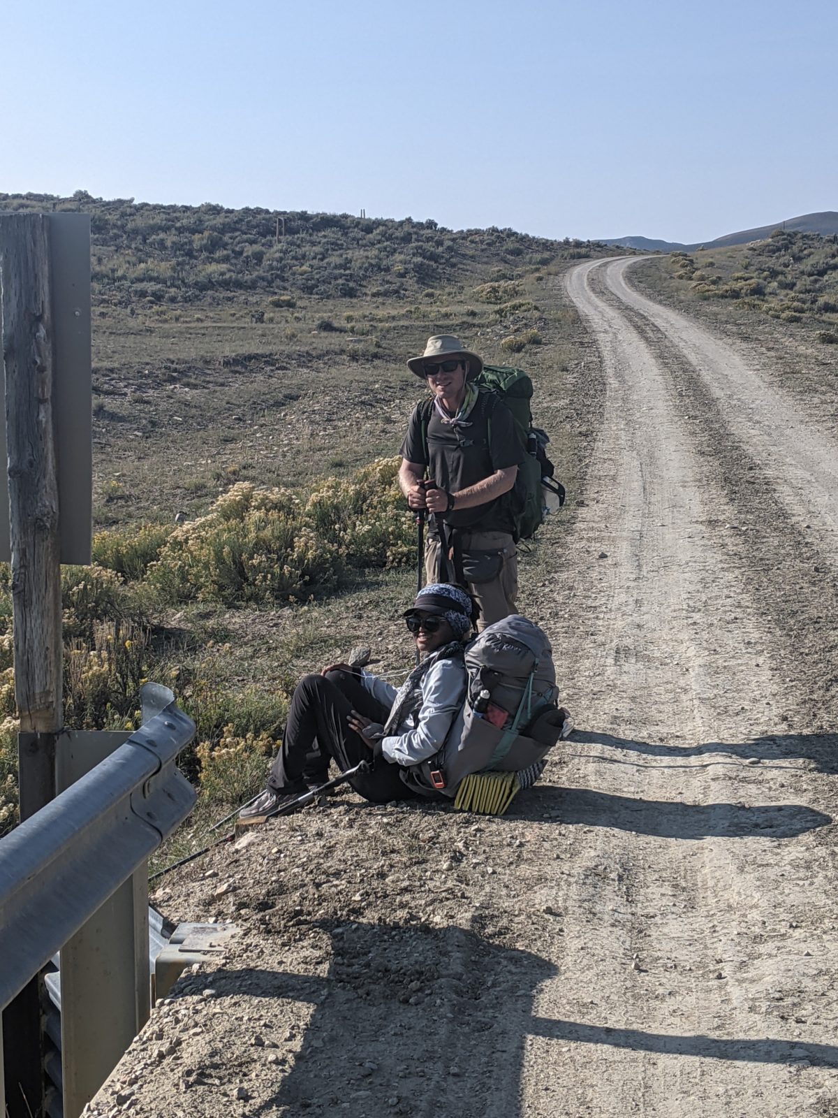
After coming over another hill, I spotted Jennifer and Deluxe coming onto the trail a half mile ahead of me. They had shortcutted around me, taking a road as they were oft wont to do. So I picked up the pace to try to catch them, and they must have really been moving out, because what followed was mostly uphill, beginning the steep climb up to Sierra Madre from the Deep Jack trailhead. I didn’t even see them again until I came to the next water source. I wanted an easy, clear collection from the next major source, so I passed them by. To keep up the momentum I’d had while chasing those two, I tossed the water in my bag and kept hiking another half hour up the hill.
Later, I took my second break to snack and filter water on a log beside the road the trail had joined. The duo passed me there a half hour later. I started climbing after them ten minutes after that, but it was a very steep bit of trail again, and I didn’t see them again until I caught them having lunch at the top of a big climb.
I passed them again and kept walking until my lunchtime, going up an alternate road to the top of a hill and finding a rock with some trees around to provide some protection from the intense wind coming over the hill. Halfway through my meal break, I saw Jennifer pass by on the same alternate. I didn’t catch either of them on the trail again that day.
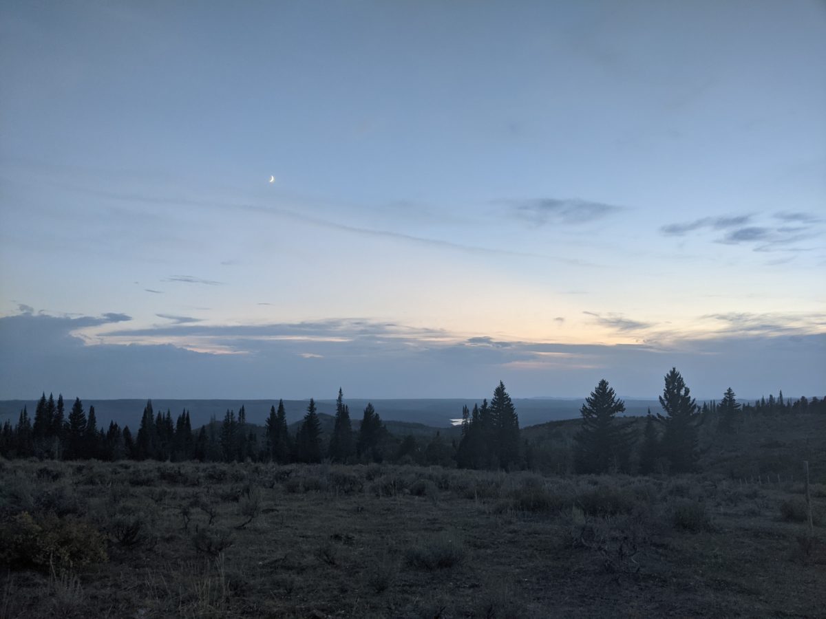
A mile from that point, I came up to the summit of Bridger Peak, a windy pile of rocks with a radio tower that just barely exceeds 11000 feet in elevation, marking the first time in more than two weeks I had reached such heights.
From there it was mostly downhill and mostly uninteresting to the highway, which I reached about 4pm. By 4:45, the fifth or so vehicle gave me a ride in, driven by Dave with passenger Deryl. Deryl wasn’t shy, but Dave wanted to do most of the talking, and he had plenty to say about the area we drove through. They dropped me off in Riverside at the Lazy Acres RV Park.
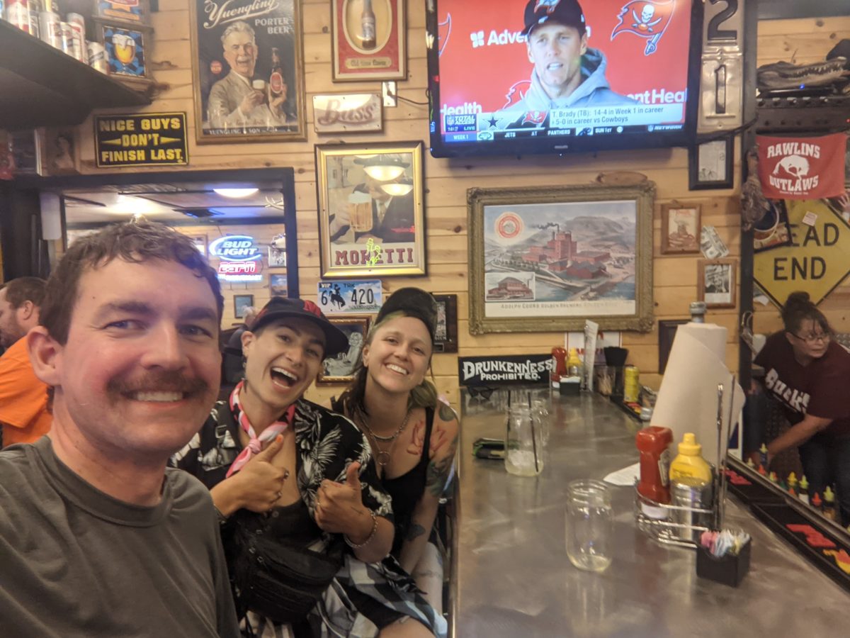
I got myself a 12 dollar tent site, but left my pack on the porch of the office because it was about to rain and I didn’t want to set up in the rain. I went to the grocery store to get a few things. It was pouring rain the whole time I was in there. I dashed across the street, running between the raindrops to stay dry, and eventually found myself in the Bear Trap Cafe. Jennifer and Deluxe were there too so I joined them and ordered some pizza and beer. Very spicy pizza.
Those two hadn’t decided their lodging arrangements but they had zero interest in tenting while in town. So when we left, they were headed into Encampment leaving me alone in Riverside. I went back to the RV Park to set up my tent and start my laundry. My pack was completely soaked from the storm and some of the things inside were wet. I guess I should have taken it inside instead of trusting the porch roof.
Anyway, I set up my tent, ran back to the cafe for quarters, and started doing laundry. There was no 4G cell service in Riverside and the campground wifi was not strong enough to upload photos, so once I had my second load in the dryer, I went back to the cafe, which was still barely open for the last few straggling drinkers at the bar. I had started suffering from hiccups while laying out my bedding in my tent earlier and was very sleepy, so I ordered a root beer. And then another. And then they just brought me a pitcher. When I finished the whole thing, the last straggler was gone, making me the last, so I cashed out and left too. But I did get two posts uploaded.
When I got back, my second load was done drying, and it was the warm clothes, so I changed into it and went to bed. I kept working on blog until videos had finished uploading over slow campground wifi, basically midnight, then went to sleep.
Trail miles: 18.8


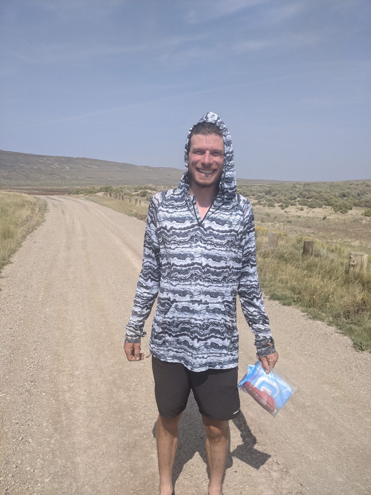
Dave 
Deluxe