I woke up at 4:30 and it was raining. Since I had no real reason to be in a hurry, I decided to wait it out by going back to sleep. I woke up again at 5:30 and the rain had stopped, so I started packing up. It turned out almost everything had stayed dry, except that my front vestibule had come loose from the stake and fallen down letting a lot of water under the left side of the tent… where I had moved my socks thinking they’d be more likely to stay dry.
Full story: I switched to MSR mini groundhog stakes at the REI in Bozeman because I was tired of straightening the cheap Coghlan stakes I bought on the PCT last year every time I bent them while trying to drive them into the ground. But the new stakes don’t have full hooks at the top. They have divots just wide enough to catch one rope. But I need to hook both my vestibule ropes and stabilizing ropes on the same stakes. I really need to figure out a system to get them both secured so this vestibule collapse thing stops happening.
I had just gotten my boots on and was halfway through rolling up and drying off my mattress when it started raining again. I had already committed to getting up at this point, and even if I hadn’t, I would have done so soon enough because it rained all morning. Spoilers: the forecast predicted rain for the following four days as well. Time to get used to never getting dry again.
I tried to do as much packing as I could with my backpack inside the bearbox while I stood in the rain wearing the Packa. I carried the tent and Tyvek down to the privy to dry and get them ready to pack under the roof of its porch. Eventually, I brought everything else I hadn’t packed down there as well to finish packing in such a way that everything stayed as dry as possible until I had put my Packa around it all. Finally, I hiked up the road around 7:10.
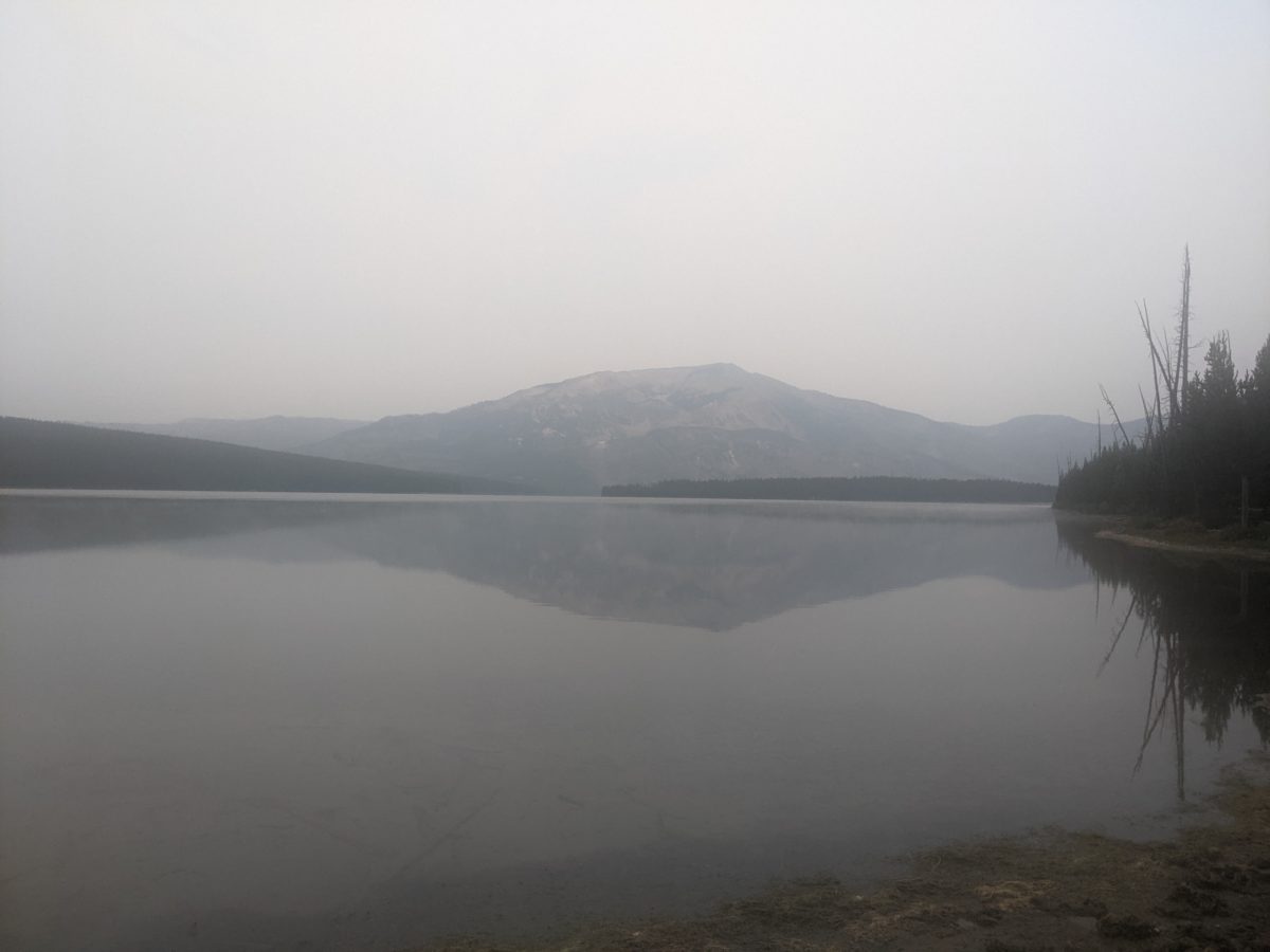
Officially, I was no longer on the CDT. In 2019, I would be, but as of 2020, the official route had taken a hard right above Upper Brooks Lake. Supposedly, that route is not quite all there yet, requiring quite a bit of bushwhacking between finished sections. Yet, there were still plenty of CDT markers along the way from when it was the official route just two years ago. It was a fairly direct route from the campground to the highway near Togwotee Pass.
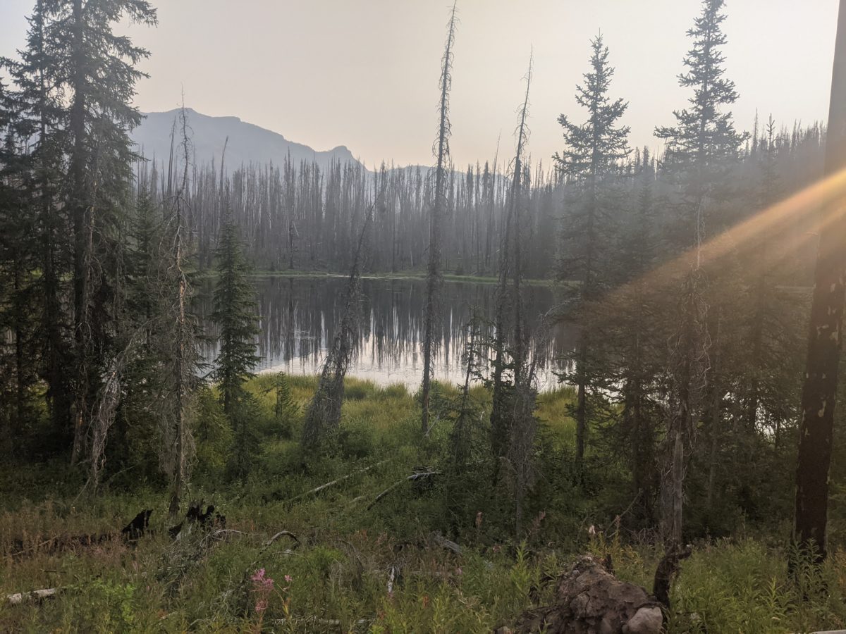
First, I climbed out of the lake along an increasingly rustic dirt road that eventually turned into a slip-and-slide as I climbed to the highest point I would reach on it. I’m not sure it would not have been exactly as much of a slog in fresh boots. Clods of mud flew off with every step, bouncing off the backs of my thighs.
I left the road at the side of a random hill and descended into the grassy hillside meadows. The wet grass instantly soaked the sides of my boots and therefore my socks and my feet. I would have to get used to constantly wet feet. The trail was a mud path that crossed a number of small streams. But there was enough grass toward the bottom that most of the mud was wiped off my boots by the time I reached the road around 8:20.
There was a decent amount of traffic on the highway, but not particularly interested in giving rides. The rain was coming off and on with a fairly consistent wind at my back. I stood beside the road for 1.5 hours, blowing on my hands whenever I got a chance. I never quite reached the point of shivering, but I was definitely reminded of the long hitch I had at Mt. Hood last year. When Florence finally stopped to give me a lift, I couldn’t undo the only on my Packa with the Jenga blocks I had where my fingers used to be. I ended up riding the first few miles with my hands directly on the heater vents.
Florence was giving up on a Yellowstone glamping trip, canceling her campsite reservations because of the rain, so the car was filled to the brim with fancy equipment. She dropped me at the Village Cafe in Dubois where I ate breakfast.
From there I walked down to the St. Thomas Episcopal Church office and met Connie, who showed me to the meeting room where hikers could sleep for free on provided cots. It was already occupied by two sleeping hikers, Prince and Beanie Weenie, who were taking a zero in Dubois before hitching up to meet a friend in Yellowstone.
After I set my stuff down and packed a day pack, we all three set out together to pick up packages at the post office and some few items at the Family Dollar. Prince got a care package from his sister, I got the package Ben forwarded me from Leadore, and Beanie Weenie just came for the grocery store part of the trip, as he wanted to buy a bunch of microwaveable food and junk food for dinner. Sure, part of it was being money-conscious, but part was he genuinely loved TV dinners. He got some sandwiches Prince derided as “cat food.”
On the way back to the church, we stopped at the Cutthroat Fly Shop, where I got a new pair of sun gloves which seemed like they would be far more durable than the hole-filled pair they were replacing. They were fresh out of waterproof stuff sacks.
I left my box and Prince and Beanie Weenie at the church and went back out. My first stop was the camping aisle at Ace Hardware, where I found a zip-up wet/dry sack which seemed intended for suitcases, but would fit my clothes and keep them dry just fine. Then to the shower/laundromat to turn an entire Jackson into quarters to feed the machines. It was the smallest bill I had large enough to cover the cost of a load.
I took the rest of those quarters down to the Rustic Pine, a bar with a fast casual style window for barbecue in the back. I took my rack of ribs and coleslaw and potato chips up to the bar and sat until and through happy hour trying various beers while uploading pictures, videos, and blog posts. There was no Verizon service in town, and this bar had the best wifi I had yet seen. They also sold microwaveable pork rinds but they didn’t come out right. I paid as I went entirely in quarters, including tip. They were as happy to get them as I was to get rid of them. Eventually, there was a pretty sizeable collection of people, and I quit working to chat with the local cowboy next to me for a good hour about everything.
From there, I went straight back to the church to find Prince and BW right where I left them. Another hiker named Andrew was there, but I didn’t get a good look. He slipped out the door while I was in the bathroom. I knew there would be another as he had slipped in, set up a cot, and left again while the rest of us went to the post office.
I spent the rest of the evening hanging out in that room, packing up my food, and then lying down on my cot to upload more pictures and posts. Andrew did not until right after we turned off the lights, so I still didn’t see him. But I ended up working on the blog until after midnight before sleeping.
Trail miles: 3


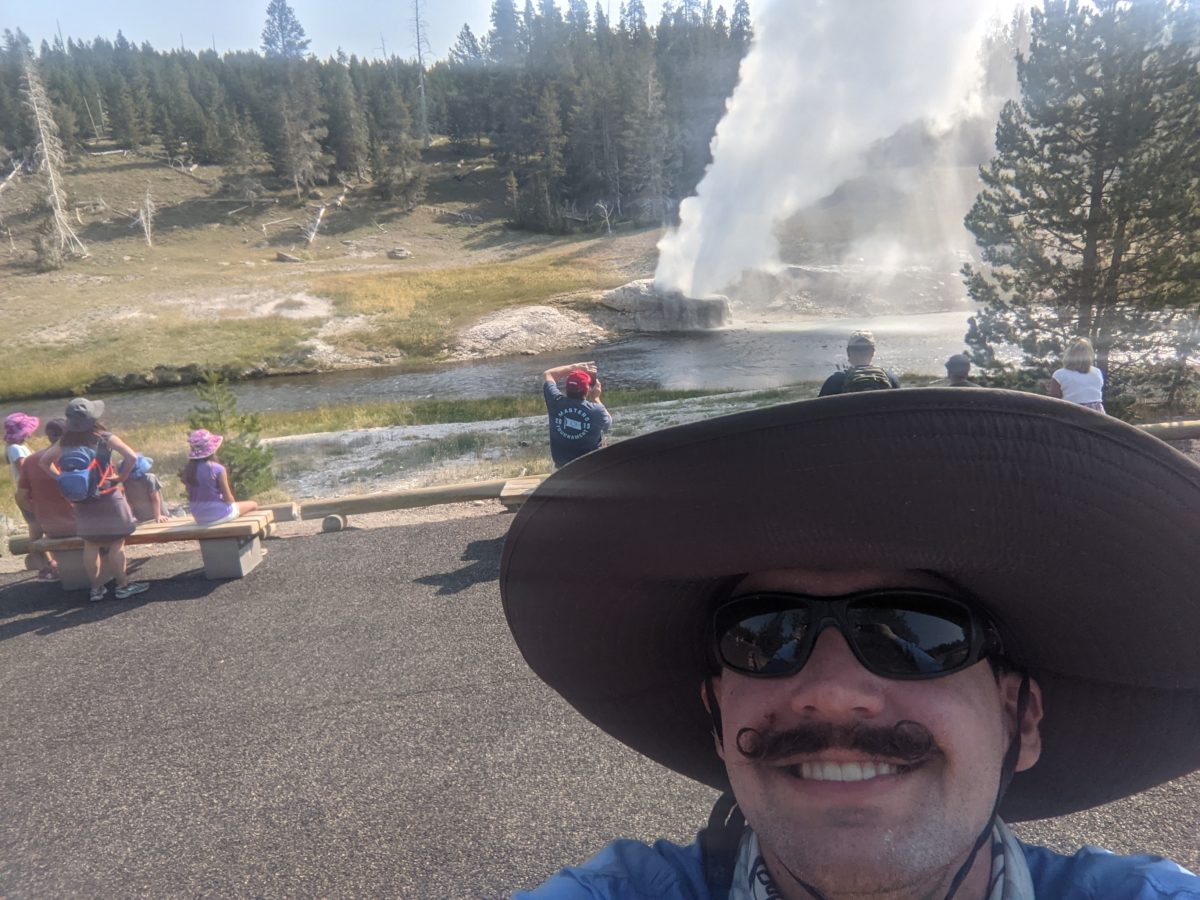
Florence 
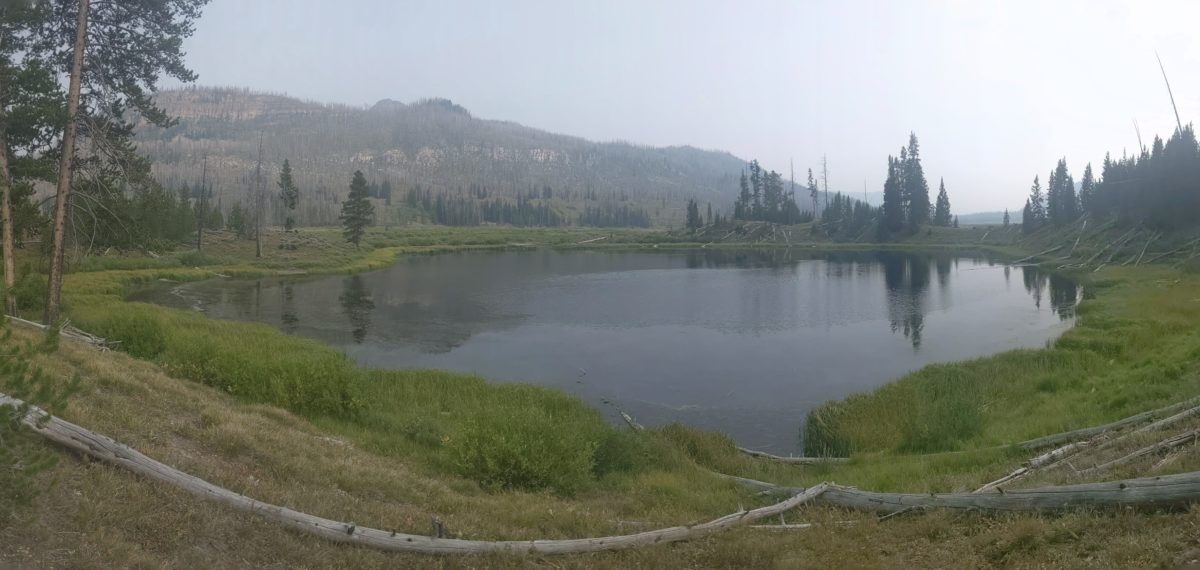
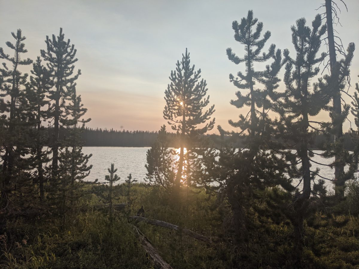
The area where I just hiked (in 3D) 


A mine in the life middle of town with a wide open door? 

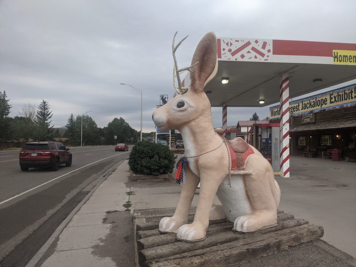
Free jackalope exhibit! 
Methinks the sign needs reprogramming 
also I wish my high school team logo was this cool