When I woke at 4am, I briefly considered rolling over and going back to sleep until 5 since I was expected at MacDonald Pass no earlier than 1pm and I could surely get there by then even with some extra sleep. But then I remembered that it was going to be a clear and sunny and HOT day, so I really ought to get some morning hiking done.
A cool breeze was blowing outside and, as I mentioned yesterday, my down puff jacket was wet, so I did as much packing as preparing to hike as I could while snug inside my tent. When I emerged, all that remained was to take down the tent and pack it, put three items in my bag, go. I hit the trail just as my 5am alarm went off. And I had already hiked a mile by the time dawning twilight was bright enough to turn off my headlamp.
Coming over the top of Greenhorn Mountain was easy, but coming down the south side was annoying because it was covered with blowdowns. Soon I came to a spot that the topo map showed as having a stream of some sort even though it did not have a waypoint marker as a water source. Because of the leak the night before, I didn’t think I had enough water to make it the remaining 10 miles to the road. So I took my water bag down the hill about a tenth of mile and found a nice clear running spring running through some thick grass. I have no idea why this source is not marked nor has a trail down to it. Based on a few dried cowpies nearby, the cows were at least aware of it.
The trail went back into a more forested area, through a narrow rock channel that was probably natural but seemed like the kind of thing people would have made on purpose, then up through an easy pass to a hilltop covered with high grasses before the trees fell away. I came out at the top of a wide open meadow on a road headed down toward Priest Pass then up the last hill before the road.
My knees were itching annoyingly and it was about time to take a break. I stopped to sit on a rock where an isolated stand of trees made some shade. I scratched my knees. I saw a spot of blood. At some point, I must have rubbed my eyes. Soon, I was having an all-out allergic reaction. Intensely itchy eyes, swelling, sneezing, rivers of snot. I have no idea what I walked through, but it took about ten minutes for it to start don’t down, I guess because my eyes had washed away much of the allergen. But my knees were still itching, spots on my face were itching, there was a ton of crust around my eyes, and the swelling around my eyes was not going down.
Anyway, the climb up the last hill was pretty rocky but not too difficult. I saw someone running the trail with his dog. I would break an ankle if I tried to run on a trail that rocky.
At the summit of the mountain were four separate cell tower stations. I texted Caroline to say I would be down in an hour. Data signal was excellent, as you might imagine, so I left a comment for the spot on Guthook saying “Decent cell service here.”
The rest of the way down to the road was a gravel roadwalk, presumably only used by those who come to service the cell sites as there was a gate at the bottom. I’m sure the two dayhikers I saw walking up the hill would have driven up if they could have.
At the road, I still had another half mile uphill to MacDonald Pass proper. I arrived only moments before Caroline and we met there for the first time as I got in her car. She had met me with two cold root beers. Best trail angel ever?
She took me straight to her house, and after meeting her dog Gertie, I set right in on showering and laundry. Caroline ordered subs from Jimmy John’s and they had arrived by the time I finished my shower.
Later, she went to pick up her daughter from day care and then came back to pick me and the dog up to all go run errands together. First, we went to Walgreens where I grabbed a few items, including Benadryl because I thought it might help with my swollen eye. It didn’t really. Then, we drove up to where she used to live to meet some friends who gave me a new piece of Tyvek. Then, I checked in at Great Clips (104 minute wait) as we went to the grocery store. I did my resupply while Caroline got some things for dinner and went out to get a couple of growlers of beer.
I had enough time to finish shopping, have a snack in the Great Clips lobby, realize I still had a long wait, carry my food back to the house, and walk back to the Great Clips before my haircut.
When I got back from that, Caroline was back and ready to start getting her daughter ready for bed. She put some chicken on the grill then went to do that, so I turned it and took it off in between doing a little blog work. Soon, Caroline was free to pull some leaves of lettuce from her backyard garden which, combined with an onion, some vinaigrette, some croutons, and other toppings, made for a great salad. We ate outside on the patio with some of the beer she had bought. I had bought half a Dutch Apple Pie to celebrate Pi Approximation Day (22/7) so we finished the meal with pie a la mode.
By the time that was done, I was almost too sleepy to make it through my phone call home before I was ready to turn in. Being up past 9 is late for me now! I’m already back on eastern time?
Trail miles: 13.7


Four cell sites on one mountain 
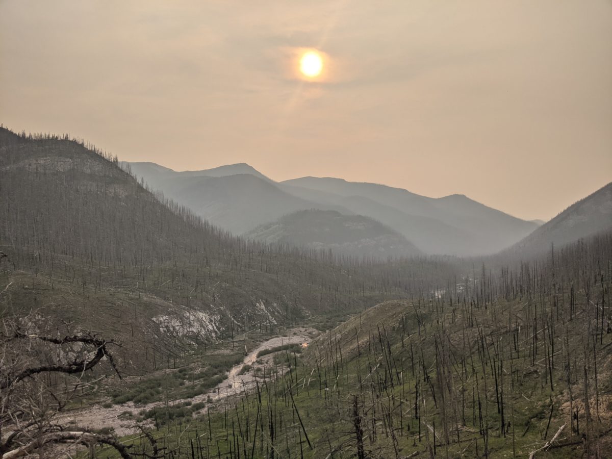
View of MacDonald Pass 

half a pi