Categories
CDT NM 4th Section

Day 22: The Watering Hole and the Cabin at O Bar O Mountain.

Oh boy. This was a beast of a section of trail. The miles may not show it, but I put in work this day.

I got out of camp before 6:30 with the sun just above the horizon. I finished descending the ridge I had been coming down all evening the day before by coming through a gate into cow territory, chasing away the cows, and dropping into a canyon.

When the canyon bottomed out, I was at Batton Pond, the local watering hole. The water was murky and full of sea monkeys, so I only took a liter for my midmorning drink, figuring what was left in my water bladder would carry me to the next watering hole, which would hopefully be cleaner.

While I was slowly (because of the stuff in it) filtering my one liter behind a tree up the hill, I watched all the animals come to visit. Mostly cows, of course, bringing along their calves. But right next to them an elk cow. I could hear turkeys up the hill probably on their way as well. I watched the cows slowly increase the level of threat they saw in me, at first just drinking and chilling, then later running full speed past me when they couldn’t get around the pond on the side opposite me. I packed up and hiked out the way I’d come in, finding a road that led past the pond again from a higher vantage point. From there, I saw a coyote leaving the pond. It was the only water around, muddy and gross or not.

What followed was a several mile boring road walk to the next pond, which did turn out to have cleaner water. I took one liter to drink immediately and added two more to the one already in my bladder. I figured that would be enough to make it the 11.6 miles to the water source where I planned my dinner stop. A half liter with lunch and the rest spread out over the other approximately 6 hours of hiking that would take seemed about right. (The cows at this pond were far less intimidated by me, and the birds and chipmunks coming for drinks were fun to watch too.)

But I definitely underestimated the trail. When it started climbing, at first it was steep but not that steep, following a barbed wire fence (again!). Then, it was down me switchbacks into a canyon with a red-tailed hawk circling and screaming overhead. The switchbacks continued on the other side of the canyon, but this time I was climbing. Alright, not so bad, at least it was a clear trail, no matter how rocky. There was sometimes wind for air conditioning. There were almost always flies.

After surviving that hill, I found a nice shade tree for lunch. I experimented with a new beverage mix. It was strange and simultaneously “just okay, good I guess” and “you know what, I’d probably drink it again and one day come to truly crave it”

Chasing cairns over rough ground, I went up to the base of Coyote Peak, circled it halfway, and came down the other side to a road where I passed up the last cow pond until dinner. Across the road was an easy walk up a draw, but it was a climb, it was the hottest part of the day, and the flies were getting worse.

I told myself I could take a break when I was within 4 miles of my water source dinner destination. I was hungry and hot enough that every shade tree started looking like the perfect one, with no more good shade trees ever likely to turn up again. So I stopped with 4.2 to go.

Knowing the next 4 miles were all climbing, it took most of 45 minutes to psych myself up and feel like I had eaten enough to power through it. I wanted to relax in the shade and breeze all afternoon, but miles don’t hike themselves. (Unless you have a pair of twenty league boots. Let me know if you have some for sale.)

Right after I started, the climbing got serious. “Go straight up this ridge, no foot track, no switchbacks, minimal shade,” said the line of cairns going straight up the impossibly steep hillside. Until the CDT, I had yet to see such a thing called a trail. And climbing isn’t easy when foot-sized rocks are littered among the springy tufts of grass. You have to watch where you’re stepping and move your legs in a very energetic way, even when you’re not going that fast. I got through it by catching my breath every time I got to a tree big enough to cast a shadow I could hide from the sun in. It took ages. But at least this was the worst it would get.

Because right after a short section of flat (but still not a real trail–just cairn chasing), it was exactly the same thing again. It didn’t get worse. It just stayed tough.

This time I ran out of energy and got really hungry when I was only 80% to the top. I just plopped into the ground behind a tree and ate some more. Lost a little more time.

That gave me enough energy to hit the top of the ridge, and I was about to continue following a game track to the top of the mountain until I noticed that the trail had dropped into an adjacent canyon. I worked my way carefully down to it diagonally along the steep canyon hillside, since going straight down was definite slip and fall bait and I didn’t want to backtrack.

When I reached the trail, I was extremely relieved to find it was an actual cleared compacted foot track. It was still climbing at pretty decent incline, but my pace improved considerably not having to carefully judge every step. Also, it was 100% in the shade. I didn’t need quite as many breathers.

Of course, I did run out of water while still 0.4 miles from my destination. It seems like my pack should’ve felt much lighter than it did with no water, but my legs were rubber at this point. Still, I kept climbing.

I popped out at the top of the canyon finally, and turned off the trail into a cow track that went straight down the hill, over some craggy rocks and rocky crags. I could see the cabin right away, but it was an agonizing several minutes working my way down to it.

But once I did, and found that spigot in the yard, and dropped my pack on that bench next to it, I could finally relax and celebrate with…

Another new drink concoction!

Two consecutive dinners! (I had severely underestimated my pace on this section and had far more food than I needed.)

Filling my pack with 7 liters of water and hiking back up the craggy hillside in the dark by headlamp light!

Yes, it had taken me more than three hours to do those 4.2 miles, so dinner was late and it was already dark. Still, I made it back up to the trail, which, despite the extra weight, didn’t seem quite as hard as it looked. I think it was the combination of sitting and resting for a couple of hours and the belly full of food and water that made my legs work better.

I got on the trail (still an actual track!) and continued to the top of a saddle which was level enough to find a campsite on. It was after ten by the time I was in my tent. I quit blog writing at 11 in the middle of a post, deciding that it could wait until morning, that no one would blame me for sleeping in a bit after a day like this.

Trail miles: 17.7

Categories
CDT NM 4th Section

Day 21: Pelona Mountain

I made much ado about nothing in yesterday’s post. Nothing really interesting happened, even though the trail itself was really interesting to see. This day was the exact opposite. Very little of it interesting to see, but there were plenty of highlights.

Got out of camp no problem about 6:40, taking maybe 2 liters from the cache. One for my breakfast smoothie, one for my morning break somewhere along the way to the water tank.

The trail started by going up a draw then onto a hill until it ran right into a barbed wire fence. The terrain wasn’t level and there was no cleared track, but it was perfectly straight. 2.8 miles with nothing much to look at but that fence beside me and the occasional rabbit warren or anthill. I took my morning break in a place hardly distinguishable from any other except a trail marker signpost was nearby.

One thing there was very little of our on the prairie was shade. I found the only spot of shade on the trail that morning when it turned off a road and climbed up a small rise to skirt around a fenced property. On the western side of that rise, next to the fence, was a face of vertical rocks with soft dirt beneath creating a little shaded niche that would only last for another hour while the sun was in the east. So of course I took another break there.

To my right ran the trail, around the end of the fence. To my left I could see a windmill marking the last source of water for the rest of the day. Other hikers would follow the trail to a road that ran south through a gate straight to the windmill. But I could see the windmill! Why go out of my way? In front of me was the fence. The bottom wire was more than a foot off the ground and not even barbed. It’s like they designed it so creatures like me could crawl under. So I packed up again, rolled my pack under the fence, and set out across the prairie on the direct route to the windmill.

I had a grand old time at the water tank. First of all, it created a bit of shade, so I could hang out while the water was filtering and watch the rabbit and the birds and the cows and not get too toasty.

But it took quite a long time too. I lost nearly two hours there because my filter was running so slow. I got it flowing again with some serious backflushing, but that meant refilling the bag I had already filled, so that took time too.

And there was no avoiding filtering the water from that tank, given the dead bird floating in it. Thanks 0.1 micron filtering! (I fished the bird out with my trekking poles as a gift to the cows who had to drink the water unfiltered.)

It was nearly noon when I left, but I ate some granola bars so as to postpone lunch due to lack of miles gained.

I took a road back to the trail that cut off a mile of fencewalking. After climbing up a wide draw that would normally be full of water right next to the trail, I turned off into a 2 mile cross-prairie unmarked choose-your-own-adventure. There were some pronghorns out there, but they scooted away doing that weird two-legged run the moment they saw me a mile away.

A mile in, I spotted a group a three bushes on a hill each about human height. They were the only thing for miles that could possibly provide any shade, so I climbed up there for a lunch stop. The middle bush had a rock seat underneath it. With the wind starting to pick up, the tiny quantum of shade was actually fairly comfortable. Not big enough to lie down though.

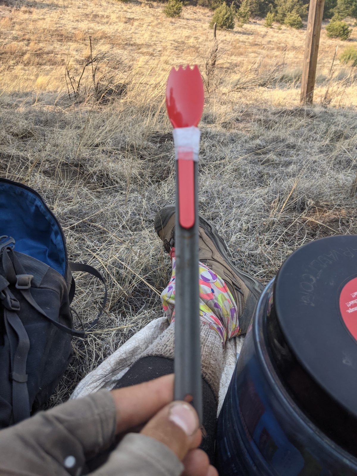
At lunch, I discovered that I had failed to remove and discard the folding sporks that come with the the Bumblebee tuna packets. Normally this would mean they were taking up needless space in my canister, but this couldn’t have been a more fortuitous mistake.

The choose-your-own section ended by colliding with yet another barbed wire fence. The trail followed the right side of fence for 0.4 miles, passed through a gate, then followed the left side of it for another 0.3 miles before turning off to join a road. Are you sensing a theme for this section of trail?

The west wind had felt fairly pleasant up to this point, offsetting the lack of shade. But once I was on the road, it began an active hindrance. Heavy pack full of water. Road going subtly but continuously uphill. And a torrent of wind in the face trying to push me back down the hill. It took less than two hours of that fight and the soreness in my back before I was looking for another break.

Thankfully, the road carried me into an area with a few scattered trees, mainly small. Well, there was one wide one with a ton of space underneath, but as soon as they saw me coming, a bunch of cows got up and walked over to stand under it and claim it for themselves. Watching me as I walked by, I could see the scorn on their faces.

Since it was getting into the afternoon, even some of the smaller trees had sizeable shadows. I found a nice one and crawled under it for a mini nap. I gave myself thirty minutes to relax as I liked, but then the climb must continue.

I had a hard time tearing myself away from that spot. I gave myself a few extra minutes to get up the motivation to get going again and pack up.

The road, still generally climbing, brought me to a gate. On the other side of that gate, the trail followed, you guessed it, a barbed wire fence. An increasingly steep continuous climb up a canyon following that fence for two miles with no established trail to speak, just an assortment of meandering horse and cow tracks.

I decided to have dinner early, just before the steepest part of the climb out of the canyon and onto Pelona Mountain. In part because there was a really nice shade tree right there, and even more because I was getting hungry, but mostly because if I did, I wouldn’t have to carry the water I cooked with up that hill on my back.

After dinner, I felt ready to tackle the big climb I had had my mind on all day. I had already been climbing all day, so it was about time I had some panoramic views to show for it.

And, of course, the first thing I did before cooking was tape the handle of my long long-handled spork to the plastic Bumblebee spork. It was like they were made for one another how well that worked. But maybe I should have used a different kind of tape, because the medical tape seemed to hold water.

It really wasn’t that bad. It was fairly gently graded, with actual switchbacks going up to the saddle. Elk on the ridge watched me curiously, not running away, for some reason, until I was nearly at the top.

At the top of that climb, the graded trail vanished. From then on, I was playing chase the cairns and had to find my own footing between them. There was only one more steep climb to get to the highest point of the ridge I would descend all evening, so there wasn’t much to get me breathing. But the hillside was tufts of grass interspersed with foot sized rocks or occasional small boulders or fixed volcanic formations. To enjoy the sweeping views or the sunset, I had to stop because I needed to carefully watch every step coming down that ridge.

The sun was set and I had to keep going. But it couldn’t go on all night. I didn’t trust myself not to twist an ankle trying to walk on that terrain by headlamp.

Eventually, I came to a slight saddle with all those rocks gone. I threw up my tent right there up on the ridge, like someone might do for a photo for an outdoor gear advertisement. The wind had greatly decreased after the sun set, so it seemed like it would not only do, but be a quite comfortable spot for a good night’s sleep.

Trail miles: 19.7

Crossed 300 total trail miles this day, and could be as little as five days from Pie Town. Mayyyyyybe.

Categories
CDT NM 4th Section

Day 20: Adobe Ranch

Not too much interesting happened about this one, but I’ll lay it out in excruciating detail anyway.

Started hiking at 7, after trying some new tricks regarding heel blisters. A bit of slip and a splash while making breakfast resulted in the loss of a small amount of smoothie powder and water, but not enough to cry about. It did get all over the side of my bear can, but I’ve not yet had the chance and extra water to clean it.

The first part was just following an ATV track on gently rolling ridgelines alongside barbed wire fences and occasionally through gates conveniently hung between adjacent trees.

I pulled up under a shade tree at 9 for a snack and at noon for lunch. Both times, I filtered some 20 ounces of water from my dirty reservoir, leaving my water bag alone to get me through the rest of the day.

Right after lunch was a monstrous steep climb followed immediately by another twice as long. It went straight up a hillside, barely switchbacking, then turned slightly and went straight up again. It was midday and blazing hot with not nearly enough breeze. I made it by pushing for 100 feet or so to the next shady spot and stopping to cool off and catch my breath until the flies caught up to me and started buzzing around my head and legs to urge me onwards again.

The descent after that seemingly pointless hill climb (what views?) was equally steep and quite hard on the knees.

Having accomplished that, I crawled up under another tree, put on my headnet, draped a towel over my knees, and just lay there for an hour while the flies buzzed around me as they pleased. I didn’t really sleep, worried I might forget to keep hiking, but it did give the sun a chance to get lower and make more shade.

The trail was largely downhill for a while and not steep. I could zone out a bit as long as I followed it. It joined a road at one point, and I zoned out a bit too much, missing a turnoff. But a nearby sideroad connected back up after just climbing a small hill. Then there was another long climb. Not as steep as the afternoon ones–it had proper switchbacks. It got me up high enough to feel a proper breeze and see the sky had gone hazy for miles around. The breeze had brought in smoke from one of the wildfires around, perhaps the one near a bit of trail I’d already done by Silver City.

I stopped halfway up the hill because it was dinner time and there was a shady tree. It turned out the area was owned by ants, but they weren’t the biting kind, so I stuck it out with them until dinner was done.

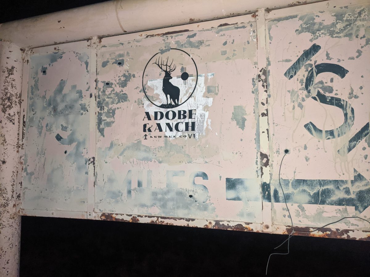
One more little short climb put me up on a long, narrow mesa. After a mile, I went through a gate onto an easement through the Adobe Ranch property. It was just a flat dirt track stretching away as the surrounding prairie rose up to meet the mesa. It definitely looked like a ranch should. It put the “range” in “home on the range.”

After going down the road awhile, I checked the map and saw the trail had left the road a quarter mile back. I had seen nothing indicating a turn. I went back to the spot, and there was a signpost marker there with just the CDT logo and no other indication. There was no track there either. It would be easy to think, as I did, that it was just another “You’re on the right road!” confidence marker.

But if you stopped and looked out into the grass behind it, you could see another marker, and another one beyond that. And further ones were obscured by trees or by having to look directly into the setting sun for them.

Again, there was no track. It was all just “hunt for the signpost.” At one point, there stopped being trees altogether. And yet I could not see the next post. (It had fallen.) But the last two posts had me aimed at the sun, so I just kept walking at the sun until another post turned up.

The sun finally set, which was my usual stopping time. I didn’t want to camp in the middle of this open prairie on this ranch, so I kept chasing markers by the remaining light. I would stop if it got too dark to follow the trail.

But before it got too dark, the trail dropped into a low area and started following a cow track. Much easier to follow than the signs. After a few miles and a great loss of light, the cow track joined another dirt road.

“Great!” I thought. “This road will lead me right off of the ranch and out to county road 136, where there may still be a water cache!”

Wrong. I checked the map a few minutes later and saw that I was way off course. The road that did that had forked off somewhere I didn’t see in the near dark, so I turned around and cut diagonally across the grass to intercept it. I found it a few minutes later, and it was a much bigger and better maintained road. I could walk it in the dark without even looking at it and not worry about tripping. So I looked at the constellations that were coming out.

A third of a mile later I was stepping over the front gate of the ranch. A small jog down the county road put me at the marker where the trail left it again. And under that marker, some water. Great! I was getting low, and it was still almost 8 miles to the next guaranteed water source.

I decided to pitch my tent beside the road in a little sandy dip some kind of offroad vehicle had made. When unpacking, I noticed my long handled spork had gotten bent again, this time to the point of breaking. I didn’t know how to go about fixing it or what I would eat dinner with, but I would figure it out later. It was already too late, and that cool night air that had been so pleasant to keep walking in was turning straight up cold. To bed!

Trail miles: 21.8

Tomorrow: Pelona Mountain!

Categories
CDT NM 3rd Section CDT NM 4th Section

Day 19: Winston

I guess I must have been exhausted from that long hike the previous day because I slept in until 6am. My mouth was also so dry I nearly gagged on the very dryness of my throat while packing up. Because I had bent a stake trying to drive it into hard, dry ground the night before, I spent an extra half-hour while packing up using every tool and bit of artifice I could find to unbend and free the stake. I even had to spend time repairing my pocket knife when it broke while failing to do anything to the stake. (What ended up working was pounding with a rock at just the right angle and then wedging the ends of both trekking poles into the loop that the hook had curled into.)

Anyway, it was all downhill to the highway, so I still made it there by 8:30. Lunar had only had to wait 45 minutes and got a ride from the first vehicle to pass. That was the time to beat.

The first vehicle passed fairly soon after I arrived. I hadn’t even had time to draw my “CDT HIKER TO WINSTON” sign yet. I stuck out my thumb. But my hopes fell as soon as I saw it was some kind of small commercial truck.

The second vehicle came some fifteen minutes later. I had just finished my sign. I held up the sign and the truck pulled up and let the window down. Success! And it was a US Forest Service truck too…

…Wait, that’s not a good sign.

“I can’t let you ride in here, but do you need some water or anything.”

“There’s plenty of water here, thanks. Have a good one.”

Three hours and maybe ten vehicles passed, finally a fire and rescue ambulance pulled over and made some space for me in the jump seat in the back.

Shouting back and forth down the small corridor to the cockpit, I learned the passenger guy’s name was Toby, and they, along with many of the people who had passed me by, had just been let off the Dobie Canyon fire, which was completely out. They were on their way to a fire in Arizona after a stop at the Winston store.

Coming into Winston, they recommended a cafe, then dropped me at the store.

I left my pack behind the store and went in to buy a few things, including a shower and a root beer. I needed more sunscreen, but all they sold was spray in a metal can. Well, I guess I’ll take what I can get even if it weighs a ton.

After an hour in the bathroom doing all four S’s plus another (intense scrubbing) and generally prettying up, I put on my long johns and camp shoes and took my hiking clothes into the laundromat on the back of the store. With those started washing, I set off for the post office down the street. A local dog came with me for a ways. I passed the community center on the way, and saw that it had a large covered patio and a wifi password on the door, just as Lunar had promised.

I picked up my box and brought it back to the community center, then fetched my pack and boots etc. back to the community center as well, figuring they would be safer there. I plugged my phone into an outdoor outlet and got it on the wifi and started uploading pictures and videos. The connection was strong. They were uploading at a good clip.

I returned to the laundromat and my clothes were already sparkling clean, even cleaner than when Brendon had washed them in Silver City. I got the dryer started and set out for the cafe. It would only be open for two more hours and was a ten or fifteen minute walk from the store.

It turned out to be more of a food truck that never relocated. There were a couple of tables next to it with an awning. I order a tamale plate, a taco salad, and, you guessed it, a root beer.

The root beer was mostly ice, unfortunately, but I did get it immediately. I had to wait 20 minutes for the rest of the food and answer a lot of questions. Like whether it was all for me, whether I would eat it all there, whether I wanted sour cream or avocado. (Yes to all of the above!) But I forgot to say no tomatoes.

Both dishes turned out to be at least 25% tomatoes. I picked them out and quirks around them. I can’t say it was the greatest meal ever. The tamale plate was only a single thing that I wouldn’t actually call a tamale–more of a burrito, maybe, with a wetter filling? The taco salad was alright, though I sure would have rather had corn tortilla bits than the fried dough bowl it came in. No pictures of any of this, of course, because my phone was still charging at the community center.

Time was of the essence, you see. My best shot at a ride back to the trail was the store clerk who said she was leaving when the store closed at five. It was already 3. The only way to very a full charge and upload everything was to leave my phone while I got food.

Speaking of uploading, when I got back to the community center, Styrofoam cup full of ice in hand, I saw that a number of the photo uploads had failed and every time I retried the uploads, they just failed again immediately. Turned out my VPS storage was full, so I spent some fifteen minutes deleting stuff from my VPS that I could have spent uploading blog posts. I got the things started uploading finally and returned to the store.

My clothes were dry. I took them in the bathroom and put them on. And bought a root beer for my cup of ice. It was already 4pm

Back at the community center, I opened my box and repacked all the food in it into my pack. Then I returned to the store to get what I had learned was missing: apple cider powder and limes. I had to settle for lime juice instead since that’s all they had.

Back at the community center, I started furiously attaching pictures to blog posts and scheduling them. I only got three of them done before I ran out of time. But that was luckily enough to cover the next long stretch of hiking without interruption.

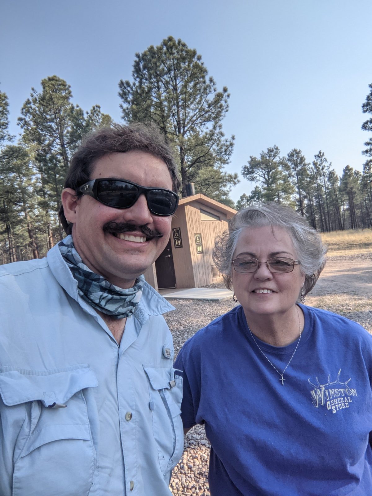
At 5, I went back to the store with my water bag and filled it in their kitchen sink. The clerk lady said to meet at her gray sedan in a few minutes. So I brought my pack and everything back from the community center to the store and began putting my boots back on. Just as I finished my final prep, she came out with her daughter and the trip back to the trail began.

We talked all the way out, about all the usual gossip: pandemic, economy, the state of the world, weather, wildfires, hunting seasons, other hikers… it was around 6pm when I arrived at the spot I had spent the entire morning. I hit the trail again, plodding out under my two ton pack with over nine days of food and a gallon of water.

After walking 0.8 miles in, I started looking ahead to see where the next water would be. Comments on Guthook indicated all the springs and tanks and streams were dry ahead. (A flyer in the post office indicated that most of New Mexico is in extreme drought.) There was maybe a gallon near the road in 25 miles, and there was definitely a tank filled by windmill well in 32 miles. Either way, there would be no water on the trail all the next day.

I hemmed and hawed for a few hundred feet, then finally admitted that the gallon I had wouldn’t be enough. I dropped my pack beside the trail, grabbed my dirty reservoir for filtration and my Nalgene, and hiked back 0.8 miles to the trailhead where I had seen a gallon in a water bottle. I put 3L in the containers I was carrying and drank everything else in the bottle. Then I carried the water 0.8 miles back to pack and added it to the already immense load I was carrying. Three tons now.

It was 7pm already, so I walked on another hour and some change until I saw the sun was almost set, found a nice spot and set up.

Rechecking my calculations, it seemed like even with having taken a nero, I was still on track to make it to Grants on time in two weeks as long as I could average 18 mile days from here on. An 18 seemed infeasible with that much pack weight, but I’d average 18 for the whole trail to that point (not counting this day), so I was clearly capable of putting down the miles once my pack lightened.

Trail miles: 6.8

Distance to Pie Town: 138.4 miles

Categories
CDT NM 3rd Section

Day 18: Trick Tank

Even though I was on a 9000 foot mountain taller than all its neighbors and I had bundled up in my bag with all my long johns on in expectation of cold, I was quite toasty in my tent. There was very little breeze. In short, there was nothing stopping me from getting up with the sun except I was sleepy from getting in late.

Still, I sort of kind of started putting things together and getting ready. I was slowed by the fact that I had forgotten to close the valve on my water hose the previous night and some small amount of water needed to be wiped off my mat and the tent floor. The sun was shining right through my tent wall urging me to hurry up. It was a bit after 6:30 by the time I started hiking.

I was a bit worried about water. Lunar had told me there would be no water on trail until Trick Tank 14.5 miles away. That would be at least 6 hours of hiking on the water I had left unless I could find some along the way that he hadn’t.

The first try was Diamond Peak Spring, just below where I slept. No luck. I couldn’t even find the thing. It used to be marked, but fires and wind had rearranged the area. And the area was dry.

So I started down the ridge. It was mostly downhill, but when it was uphill it was steep. There were views everywhere to the extent that I passed up taking pictures of some of them worried I was taking too many.

I was counting down the miles and the minutes and keeping my breaks short (and drinking slightly less during them than I usually would), hoping to catch lunch by some pools of water in the stream bed running siren the canyon the trail entered after 9 miles.

No luck. The pools had dried up since last month. I was going to have to go all the way to Trick Tank, another 5 miles, with the water I had. I couldn’t drink a while quart of water at lunch like I normally like to do.

Speaking of lunch, it was about noon when I came to the place where two canyons and their dry stream beds meet. And there I scared a cow. She was down in the ravine I was walking the edge of, and I saw her long before she saw me. She jumped and turned toward me, melt turning to face me as I passed. I stopped for lunch in a shady spot on the bank just would-be-upstream of her. I’m pretty sure she watched me the whole time I was eating. But I was too distracted by all the flies to really pay attention.

Coming out of that ravine, the trail crossed a road it used to turned down. The long road walk was replaced last fall by a steep climb over the hill to meet the road on the other side. It was shorter, but it was uphill almost the whole way, and frequently at a 30 degree incline or better. I was hesitant to drink, but I had to to get over that hill.

It felt like an unusually long 2 miles from where the new trail ended to the hill where Trick Tank sat. It went by quickly in absolute terms, and it seemed like I still had plenty of water, but the anticipation was getting to me, especially when I reached the steep climb just before the tank. I had to go all the way to the top of the hill on the trail and look back down way off trail to finally see it.

I spent most of an hour at the tank having a water party. It was a wide tank with a shallow pool of algae filled water in it covered by a fiberglass lid that kept it from evaporating while still allowing rain to flow in from the edges. Even knowing every animal in the area probably drank from it and seeing the dead moths floating in it, I was tempted to hide from the sun by taking off my boots, crawling into the tank, and just lying in the shade in the cool water. It had been a bit overcast all day, but the clouds had chosen this hour to thin out a bit.

Luckily, water is a great way to combat the heat even if you just drink it. I started by filtering directly into my Nalgene until it was full, tossed in a couple of Nuuns (blueberry orange), and emptied an Arizona honey ginseng green tea flavor into it. I took that to the shade with my snacks and drank it all while filtering into my water bag.

I carried away a full water bag when I hiked out–way more than I needed. And of course I poured some water all over my shirt too. It’s the only way to end a water party.

The trail was mostly downhill from the tank except for one short and, compared to the earlier climb, gentle uphill bit. I walked for about two and a half hours, and even started listening to a podcast on my one remaining functioning pair of headphones. I stopped just before 6 for supper, which is earlier than usual but I was getting hungry already and there was a nice picnic spot. In dropping my pack, the strap caught my headphone wire and gave it a good snatch without pulling it out of my ears or phone. That amount of tension is all it takes to complete shut down a one dollar set of headphones. But hey, I got two days of use out of them, sort of! That’s pretty good for cheap headphones on the trail.

I was much less excited about hiking after dinner. I had no excuse not to since there was still daylight to burn, but my feet were hurting. So I walked on, mostly downhill again, from 6:30 until a bit before 8, when I decided I’d had enough and spotted a good campsite. This time, instead of starting right away on the tent, I started by taking off my shoes and socks and popping and taping over the blisters I had made that day. It had been a long one, and my boots still aren’t a perfect fit.

It started cooling off after 9, once I was in my tent. The coyotes sang me to sleep well before 10pm.

At least the next day would be a town day. A little bit of social interaction and self-care before starting an even longer and more strenuous section.

Trail miles: 22.4

3.3 miles to the highway!

Categories
CDT NM 3rd Section

Day 17: Black Canyon

I woke up at 5:15 and sort of got myself going in that “what can I do that doesn’t involve taking my feet out of this sleeping bag” way. Started hiking down the ravine again at 6:30.

In spite of the blowdowns and the twisty hard to find trail, I had a pretty good pace. It was all downhill and in the shade. I had my down puff on and didn’t get warm at all.

At 7:30, I walked out into an area where the ravine spread out and the sun could start to hit me directly. I had to climb up the ravine wall and back down again through patches of morning sun. I put my shades on.

At 7:40, I took them off again, and walked another twenty minutes in the shade of the ravine.

When I finally reached the confluence of the little stream I was following with Black Canyon Creek, I didn’t realize it. I was told.

Lunar hailed me from the other direction as he pulled up to sit down for a snack and smoke break. So I sat down with him and we had a short discussion about the trail ahead and behind and our plans. Like most people, he asked where I’m from, and like many, he had a connection to Georgia. He grew up in Temple.

The one thing he asked about the trail I’d just done is how bad the thorns were.

“Not too bad.”

“I can’t say the same for where I just came from.”

It would take a while for the import of that to become clear.

We parted ways and it was time for me to begin the long climb out of Black Canyon. It really wasn’t so bad. Occasionally broader so finding the intended trail was harder, but the thing that slowed me down more was the ready access to water. Every time I came near a relatively deep pool, I wanted to climb in. I even tried once, but it was way too cold to get all the way in. The bottom was freezing even at only a foot deep. But I still dunked my shirt on several occasions.

I held off on collecting water as long as possible since I would have to carry what I collected as long as possible. About noon, I came to a section of dry stream bed and decided the water had run out. I dropped my pack and hiked back down the creek to where the water appeared again and spent some time there collecting and filtering.

Carrying two hands full of water on the way back, I startled a red fox on the trail. Luckily, it wasn’t so startled as to run away, even as I set down a water bag and took out my camera to film. It seemed rather more sullen than scared.

I ate lunch and continued up the canyon. After crossing the creek for the umpteenth time, a turkey startled me on the trail. She sort of ran at me and then completely circled me, then even started to follow after me when I went to leave. All to protect her chicks. The video is pretty wild.

After a few more stops for one reason and another and a few steep climbs, I came out of the canyon a little before 5pm. I knew it would take the majority of my day.

In this area, I decided to investigate some local springs. I collected a small amount of water from the one that was floating, but it was going so slowly, I gave up after 20oz and 15 minutes. Then I set out to climb up onto the burnt out ridges.

It was fine at first. Nice even. There were big grassy areas, then an easy if uphill forest track. Then the thorn trees started. Apparently one of the first kinds of bush to come in after a fire is one just covered in thorns. And here there were all in the trail. The section seemed not to have been maintained in some time. So they were constantly scratching my legs abs pulling at my shirt. And of course sometimes the deadfalls required me to squeeze right through them to get by.

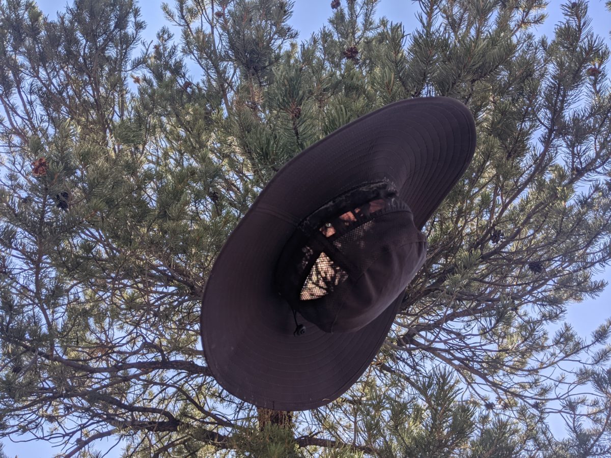
I ate dinner on a sandy bald spot surrounded by those bushes. There was no shade in sight. There were some clouds for a bit of sun protection, but it wasn’t consistent. Still, the sun is pretty low after 6pm, so I could shade my legs just by leaning my hat against them. And it’s impossible to be mad during dinner.

I hiked on after dinner, and after a bit, the thorns got a bit better as the trail entered areas along the ridge less affected by fire. The sun disappeared but I put on my headlamp and kept going. After a particularly steep climb, the trail went out along a face just smothered in the thorn bushes, forcing itself between and under them so that I had to also. I didn’t want to push them aside with my hands, and could just barely get a gap between them using my trekking poles. But my knees are scratched up worse than ever.

Finally, late in the 8 o’clock hour there came the final push straight uphill to the top of Diamond Peak. The views on this whole climbing section had been amazing throughout sunset and twilight, but I was going to be attaining the peak with only the full moon to light the landscape.

When I came past the summit, there was another sandy open flat area just below it, and I decided to camp there. It wasn’t all that windy, and sunrise would be as early as possible if I woke up on a mountain top.

Trail miles: 18.5

Distance to Hwy 59: 25.7 miles

Categories
CDT NM 3rd Section

Day 16: Rocky Point

It was so cold that I woke up at 3am and pulled my sleeping bag on all the way. When my alarm went off at 5, I refused to leave the warmth of the bag, even knowing that if I got started earlier I could do more hiking before it got hot.

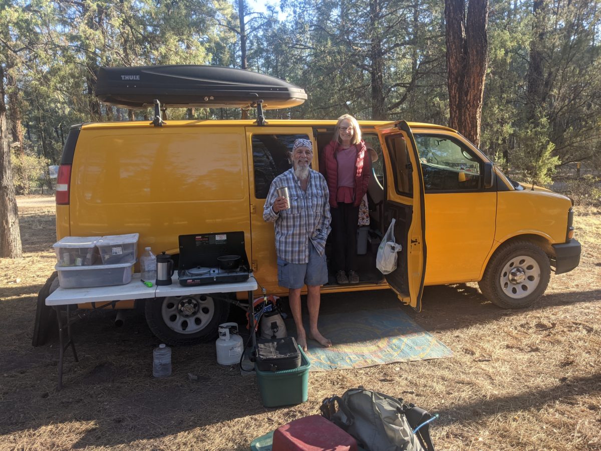
I was finally out and packing up at 6, and soon Hawkeye was stepping out of the van underdressed for the cold to start some water boiling for coffee. I was almost done packing when he came to pour me some. It was incredibly strong. But I drank it just like that.

30 minutes later, I came back from the privy to give a final goodbye to and take a farewell picture of Hawkeye, Debbie and the support van, Alice. And that was the last I saw of other human beings for the rest of the day.

The first few miles was an easy walk up a mostly flat canyon to Sapillo Creek. This was the first time I had seen water flowing across the trail since I started. I drained my breakfast smoothie and refilled my bottle from the creek, making my orange health mix in it. Before I left, I washed my hat, and dumped water on my shirt and Buff. It was going to be hot as soon as I got away from the creek.

It was a steep and arduous climb out of the canyon and onto the ridge for the next 2 miles or so, and then I climbed slowly in the direct sunlight for another three miles while the day heated up.

Soon, I dropped into another, higher ravine. This one had a cold water seep, so I took an early first lunch break to cook some chicken flavored chicken and rice. I figured I might as well as long as there was copious water available and Hawkeye’s hospitality had left me with an extra dinner meal.

Then I had another steep and annoying climb out onto an even higher ridge in the light of an even higher sun. I was seriously sweating. The salt ring on my hat reappeared.

There was a series of short steep climbs interspersed with flatter terrain. But for six miles, I was gaining elevation regularly.

Early in the afternoon, I stopped next to a junction where the trail turned off and had a second lunch, this time of my usual lunch menu. I drank a bit less than the last stop since there would be no more water on trail for the rest of the day.

I got a brief little mile of descent to a road in the later afternoon, then began the most serious climb of the day. 700 feet or so in 3.5 miles, the largest part of that in the first mile. I took a break near the top of the first steep section even though I didn’t really want to because my heart felt weird. It stopped when I sat down and snacked and drank, then started again as soon as I put my pack on and stood up. I decided I would just have to hike it out and wrote it off as an anomaly.

At the top of the range, the trail came out onto an exposed face with some great views. The trail came out onto the exposed face of the next hill as well, then the next. Always new views, direct sun beaming on me, elevation going up. Finally, at a little after 7pm, I reached the saddle at the top of the ridge, the elevation I’d been working my way up to all day. I entered the Aldo Leopold Wilderness, the first nationally protected wilderness in the US. Aldo Leopold should have written more books if he didn’t want John Muir to get all the conservationism credit.

As soon as I came around to a nice shady flat spot, I stopped for dinner. Spamish Rice this time.

It was nearly 8 by the time I got back on the trail, so I had packed up my sunglasses and hat and had my headlamp and down puff on. I was feeling pretty energetic, so I figured I’d get in a little extra mileage after dark. I stepped over a snag too fast and it snagged my shorts, tearing a nice hole at the edge. I leaned on my trekking pole so hard to catch myself it nearly bent double, but it snapped right back into shape.

I hung a left at Signboard Saddle, the sun now gone and its remains on the wrong side of the mountain. The new CDT redirect plummets down a ravine which is scattered with deadfalls and scratchy plants. But it was downhill and I was feeling energetic. When it got too dim to see the hazards on trail, I put on the headlamp and kept going. I finally found a reasonably good spot to camp about a mile down the ravine and settled in.

Trail miles: 19.5 (a new 2 day record for the CDT)

Distance to US 59: 44 miles

Categories
CDT NM 3rd Section

Day 15: Sapillo Campground

It’s so hard to get going in the morning. It’s not that lying on my air mat is the most comfortable thing in the world, it’s just that the cool morning air turns me off from getting out of the bag. And then I fall back asleep for 45 minutes. Anyway, it was 6:30 before I finally left camp.

A mile down was the water cache and the highway. I drained my breakfast smoothie and topped off every bottle and crossed the highway. The next water source was nearly 24 miles away, so I would need to stretch my water enough to stay hydrated all day plus make a dinner and a breakfast from it.

Around 8 or 8:30, I encountered Debbie, Hawkeye’s wife, previously of the trail out of Burro Mountain Homestead, coming down the hill having parted with Hawkeye moments before. She said she would be meeting him with the van at the campground 20.5 miles ahead and asked if I needed anything.

There was plenty of wants I could have thought of, but there was one definite need.

“Could I trouble you to bring some extra water?”

Dry spell situation solved.

“Crap, I should have asked if she’d slackpack me.”

The trail from there was a brutal climb. Even though it was still cool and shady, I was stopping frequently to catch my breath and cool off. I stopped for a full-on snack break at 9.

Maybe 30 minutes later, I caught up with Hawkeye taking a break of his own. He is a fast uphill hiker and wasn’t carrying as much weight. And he had a lot of stories to tell about all his hiking adventures over the last 30 years since he retired, and… well, basically his entire life story, honestly. By pushing myself to keep up with him so I could hear what he was saying, I finished that five mile mountain climb at least 30 minutes sooner than I would have alone.

We reached the peak around 11:30 and my stomach was very insistent that it was lunchtime.

Me: “No, stomach, lunch happens at noon.”

Stomach: pain

Legs: slow

Me: finds a shady lunch spot

Hawkeye and I had lunch together and continued hiking and chatting and even sometimes taking pictures together until our afternoon break at 2. Somewhere in here he offered me dinner and a beer. Then we needed some alone time and switched to leapfrogging, meeting only when we stopped for breaks or picture/video taking. (He is recording his hike to fundraiser for his foundation for grants for equipment for disabled athletes. See more at http://gohawkeye.org)

We both took breaks every two hours and four miles. My left foot was kind of killing me by the last section, a four mile descent into the campground. But the views were amazing and there was a dramatic shift of scenery when I entered the canyon at the final mile. It was so different and stark that dramatic was the only word that came to mind. But it didn’t completely distract my the pain in my foot.

When I finally spotted Debbie and Hawkeye’s yellow van across the campground, I turned off the trail and cruised straight up to it.

“Have a seat. Have a beer. Have some jalapeño chips,” she said. I did. I swallowed a naproxen with my beer, changed into my camp shoes, and a half hour later, the foot pain was gone. Coincidentally, that is also when Hawkeye finally arrived and informed Debbie she would be making dinner for three. I was not expecting rice and chicken and veggie stir fry for dinner when I woke up that morning.

In gratitude, I fixed them some Christmas in a cup, to which they added some Jameson, and that worked surprisingly well with it. I had pitched my tent nearby, and after a brief dumpster finding odyssey, I led the charge to bed and sleep.

The morning promised actual toilets and hiking out with plenty of water. But Hawkeye was headed up to Gila Hot Springs on a side trail instead of staying on the CDT, so I would truly be alone on this ever more remote section. But at least there would be a nice cool flowing creek for the first time on this trip in just 3.3 miles.

Trail miles: 21.5

Distance to Hwy 59 and Winston: 61.9 miles

Categories
CDT NM 3rd Section

Day 14: Monastery

I was the first up at the hostel, and though my bunk was fairly comfortable, it wasn’t comfortable enough for me to stay in to finish uploading blog posts. I led the charge into the common room and plugged in the giant tank style coffee percolator. I sat down in a chair and worked while I waited.

I had my first cup with my first cup of skyr (strawberry rhubarb) and Blitz got up at this time too, along with the dad who had come in late to the private room. I went for my second cup of coffee and my second cup of skyr (spiced apple). Annika and Rory trickled in at this point. Two cups of coffee was enough to send me to the bathroom, but I kept working on the blog. I couldn’t waste a moment since I wanted to have everything uploaded before I left, but I didn’t want to leave so late I missed out on all the coolness of the morning.

When I returned to the common room, Annika had already left for her WFR course at the university, but no one else had any intention to try to get out early. Of course Rory and Early Bird weren’t going anywhere with their injuries, and Blitz said he wasn’t going until noon to give himself a full 24 off his feet. I started on my third cup of skyr (key lime, the best of the three) and finally finished putting together and scheduling the last post (which you read yesterday). Before I left, though, I shaved and cleaned up a little bit to look more presentable to potential angels I might meet later in the day. And I had one last root beer for the road. I tucked a cold Gatorade in my pack, said some goodbyes, and walked up the road.

Once I got to Alabama St. (which is next to Georgia St. of course) and was headed out of town, I started sticking out my thumb at every passing car and truck. It was 5 miles of road walking to where the trail actually veered into the woods on a dirt track, and I was lucky enough to find an old man driving out to a yard sale who was in so little of a hurry, he was willing to go out of his way to take me right to that junction. I probably wouldn’t have minded doing most of that road walk, since it eventually turned into a dirt road with very little traffic, but it also didn’t look very interesting so I wouldn’t have gotten much out of it either.

The first few miles from there were on an extremely popular trail network. I saw several day hikers and even more mountain bikers (as it was a multipurpose trail for hiking, biking, and equestrian use). It wasn’t very complicated or steep, but it went on for a while. I started walking from the road at 9:30, had lunch beside the trail at noon, and made it to the parking lot where all those day users parked by 1.

It was at this point I did the thing only 4% of CDT hikers do at this point; I kept going straight onto the official “red line” track up into the Black Mountains. As most hikers take the Gila River alternate here, most people I spoke to at the hostel just naturally assumed I would as well and forgot I wasn’t even after I told them. I’m a huge oddball.

I don’t know why this route is so much less popular though… it’s said to be equally beautiful. Perhaps it is that it is longer. Perhaps it is that it has more dry sections. Perhaps everyone just really wants to go to Doc Campbell’s. But I’m not in a hurry or desperate to stay with the pack since I’d be leaving them in northern New Mexico when I flip anyway. The upshot is I’m going to be the only hiker out here for the next two weeks or so.

The water isn’t very dependable in this first section, so late in the afternoon, I went off trail to visit a monastery known to give water to hikers. I still had a good 3 liters on me, but I could count on this water to be here, unlike the highway cache I might find in the morning. I had to pass through three gates on private roads to get down to the monastery, and I didn’t see a single human on the property. I could hear them though. All the nuns were down in the chapel singing and having a service. I found a faucet in the yard above the cloister, and got myself up to 6 liters (refilling the Gatorade bottle too). I climbed the hill back out without having spoken to anyone. Thanks nuns!

Back on the trail, I stopped just after getting into the woods for dinner. Same old. Then I hiked on another hour and stopped within a mile of the highway crossing, pitching my tent in a side road that had been blocked by a ten foot long wire fence. It seemed like a great campsite, so I just walked around the fence and set up. Hard to drive stakes into the old road bed, but it wasn’t windy, so I just dug holes, put the stakes in, then backfilled around them. Took awhile, so I got to sleep much later than usual. Otherwise, nothing particularly interesting to comment on.

I wasn’t expecting much interesting to happen for the next couple weeks honestly. In fact, I was kind of hoping for exactly that. Brendon said the trail might not be particularly clear, with a lot of blowdowns across the trail and such. I hoped he was wrong. After that experience at Mt. Hood, I wasn’t much into being slowed down by constantly stepping over or around trees. Anyway, the trail was good this far.

Trail miles: 18.5 (5 by car)

Categories
CDT NM 2nd Section Off-trail

Day 13: Silver City

I had set an alarm for 5am, but I managed to turn it off and then sleep nearly until 6. Fair enough. I hadn’t gotten to sleep early.

The sun was well and truly risen by the time I got started hiking… and was soon hidden by an unexpected haze. I was an unaccustomed dim morning. Clearly it didn’t seem like morning to Banshee. He was still snoring when I walked out.

My water bag was nigh empty. I had used most of the last of my water on my breakfast smoothie. It couldn’t be helped. I had carried all the water I could and had not wasted it. But it looked like there was a spring just 4 miles ahead in the Saddle Rock Riparian Area.

It was cool, easy downhill hiking with plenty of views. Views of clouds. It was overcast as heck and the sun was barely shining through.

The tank in the river wash was indeed filled with sedimenty water, so I stopped for a snack and filtered some to carry away.

But then there was an even bigger water tank just 2.5 miles further down the wash. And then I was being passed by trucks going up the dirt road into the wash. One stopped to say hi and told me Highway 180 was not heavily trafficked. And then I was in a herd of cows. And then I was at the highway and there were tons of cars and big trucks. And moments later I was in one of those cars headed into Silver City.

To be clear, I was still on the trail. The last 13 miles of the CDT into Silver City is a walk along that busy paved highway. And if there is anything I did not come out here for, it’s walking well into the evening with cars and big rigs zooming past. Better to see the trail from inside one of those cars.

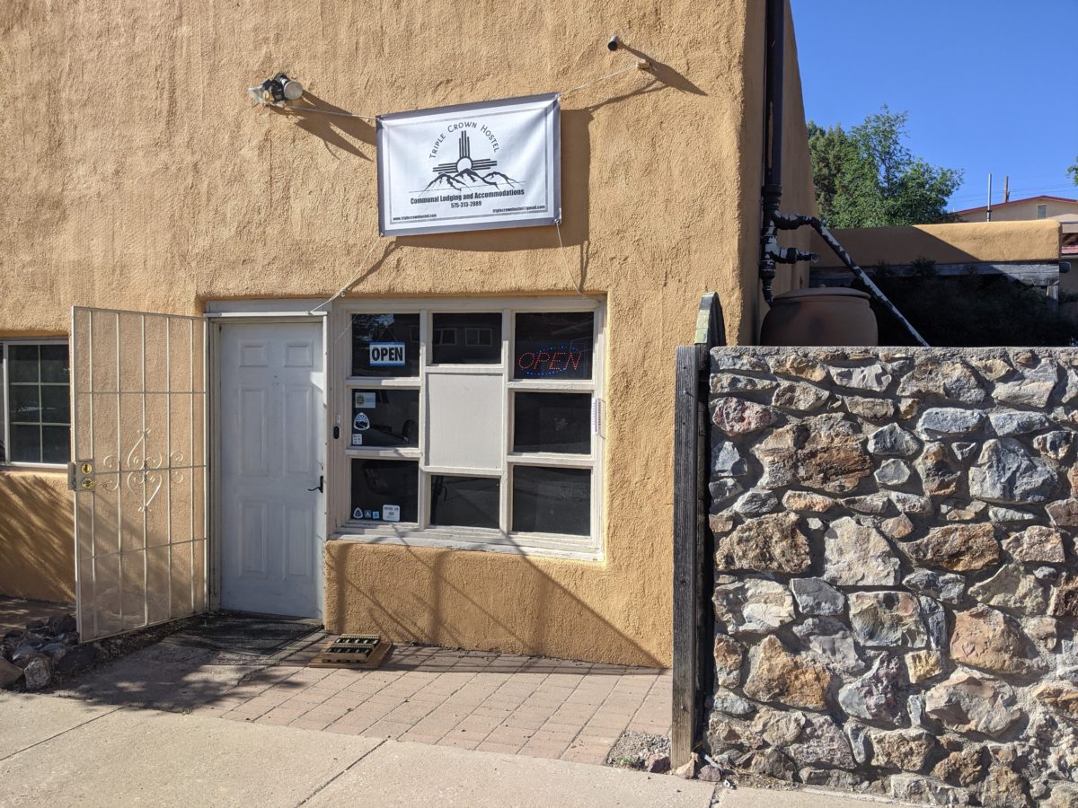
Riley dropped me at the Triple Crown Hostel. A voice on the doorbell speaker told me to go sit in the courtyard until he came. Rory was already in the courtyard exercising, trying to heal his wound knees. Blitz shooter up just in time for the owner to arrive and check us in and give us a tour together. He had walked on that highway for 13 miles because he is a crazy purist.

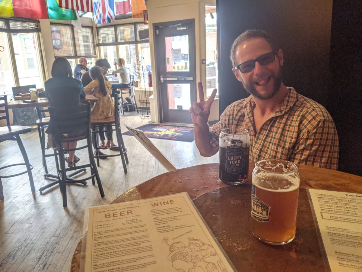
After showers and leaving some laundry to be done, we headed out to the Toad Creek Brewery for lunch. We ate a ton, including green chile cheese fries, Baja fish tacos, New Mexico Reuben, all of which we shared. I finished it all off with a root beer float of course.

Since we had borrowed bikes from the hostel to get around, we decided to explore the downtown area, visiting the two outfitters. While Blitz took time agonizing over which new shoes to buy, I visited the co-op grocery store, which was so small there was a line outside to get in so it didn’t exceed its 8 person capacity. I got a box of Virgil’s Root Beer and some Siggi’s Skyr for breakfast. Then I went back for my bike and told Blitz I was heading back alone.

But no sooner had I gotten back than I realized I hadn’t gotten any moleskin at the gear store. Rabbitfoot, still exercising on the patio, suggested leucotape instead, and it turned out that that’s what I could get at the gear store when I got back to it (after finding the wrong kind of moleskin at the other gear store). I found Blitz there finally leaving with a brand new pair of shoes. He went off to the post office and I returned to the hostel.

I got back with just enough time to go through my food to see what I needed to buy before Brendon left to go pick up Annika at the airport. He would drop me off at Walmart on the way out and pick me up on the way back. Banshee arrived and checked in just before we left. He had done “half” the road walk before getting a ride.

Once at Walmart, I bought what was on my list quickly (plus some A&W root beer to share at the hostel since the Virgil’s wasn’t very good) and spent most of the half hour I had there waiting in line at the register. I spent another fifteen minutes or so sitting in front of the building waiting for my ride back. It rained on me. All those clouds had been for something after all.

Once back at the hostel, Annika was being checked in and Rabbitfoot was finished with his doctor prescribed exercises, so I proceeded to cut up and distribute the amazingly sweet watermelon I had acquired. Soon, though, I realized I had neglected to acquire better headphones or a razor at Walmart. So I hopped on a bike and went back out. I made two stops. At a local grocery, I got cheap razors and a new toothbrush and toothpaste set. At the Family Dollar, I got some cheap headphones (2 for me 1 for Blitz), a Gatorade to hike out with, and a Hot Pocket for supper.

Back at the hostel, I mostly skipped out on the socializing and yoga sesh happening on the porch in favor of packing up my resupply, phoning home, and working on this blog until I gave up waiting for pictures to upload and fell asleep. Plans were in place for the next two weeks. Hiking would recommence in the morning.

Trail miles: 20.7 (13.1 by car)