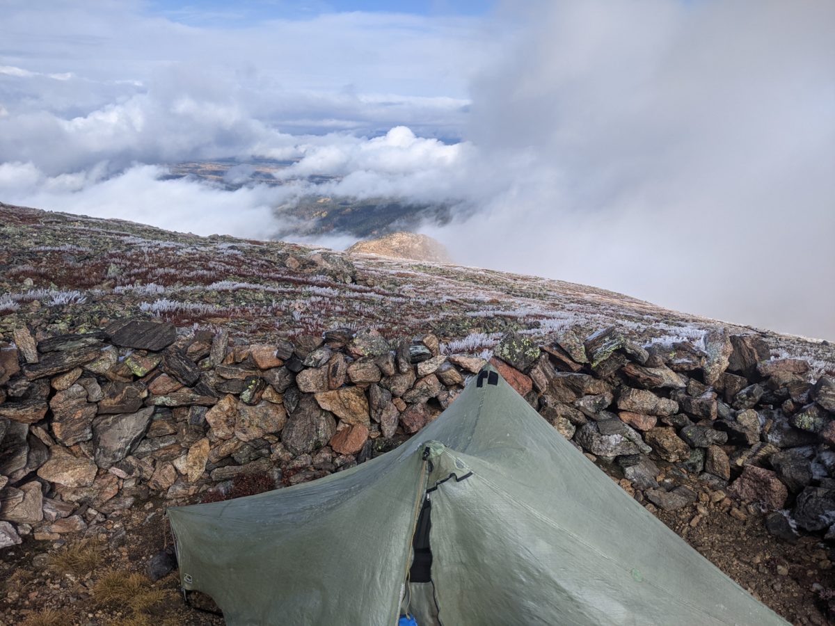
It was actually neither raining nor snowing when I woke, but I did sleep in to compensate for my late night the night before. There was a ton of frost stuck to the outside of my tent and hoarfrost off the guy ropes. I didn’t really feel eager to get up while the wind was shaking my tent around, but it did eventually calm and the sun briefly came out of the clouds to help melt the tent frost. It was a little after 10 when I started out.
I reached the top of James Peak around 11:30, right when another cloud had enveloped it. Fifteen minutes later, when I was already 500 feet down and half a mile away, it briefly cleared up. I just missed the view.
I saw a number of other people out hiking on the way down. A girl with skis headed up despite the lack of any snow to ski on. A couple of day hiker guys just running excitedly up to the peak and back. It had been lightly snowing, but when I got into the trees, the snow picked up and the thunder and lightning rolled through. When I came to a road, an SUV was leaving and a backpacker was hiking up the valley in the same direction.
I eventually came to a large campsite around 1:30. 3.5 hours of hiking to get a mere 5 miles, but who wants to take a break in the middle of a storm. The snow, rain, and thunder had entirely stopped by this point, so I took lunch. I also took advantage of the sun briefly coming out to remove all my extra layers.
I left again at 3, crossed the creek at the bottom of the valley, and started climbing again. At first, I was just zig-zagging my way up a wooded hill to a ridge. Then, I came into the open and could clearly see the tops of the mountains ahead. I came level around the side of a ridge working my way into the canyon of Bill Moore Lake.
I took a fifteen minute snack break at the outlet of that lake, took a bag of water for later. I also put my jacket and snow pants back on. Even though the sun had another two hours before it set, I had no need for sunglasses and put my headlamp on.
At 5, I began the climb up Breckenridge Peak. This one was a fun zig-zag back and forth across a rock slide, but the trail builders had done a decent job arranging the rocks into stairs and flat sections for the most part. It wasn’t smooth going by any means, but far easier than actually walking across a natural scree field would be. As I climbed, clouds washed over me and then passed away, revealing the peaks and valley again. It was only a two mile stretch, but it took the entire remaining sunlight to reach the summit.
From there, it was a relatively easy climb to the summit of Mount Flora, less than a mile and not particularly steep. However, it was dark and it had been a while since I had eaten, so I stopped a quarter mile from the summit for another quick break.
I reached the summit of my second thirteener a little before 9 and began descending the other side for the 3.3 mile drop into Berthoud Pass. It was more built trail into scree field for the first part, but after a mile or so turned into dirt track. Further on, for the last 0.8 miles, it joined an easy, gently graded, switchbacking dirt road.
A little after 10, I found myself wandering across the parking lot at Berthoud Pass again, desperately seeking a privy. It seemed the only bathrooms in the area must be inside the closed information center, so I wandered back into the woods below the road I came in on to dig a hole then make camp. I started filtering the water I had brought while I pitched my tent and made my bed and had enough water to make dinner by the time I was ready to do that. I went back in my camp shoes to bring in the filter and unfiltered water at the same time as I got the filtered water I needed for dessert.
It was well after midnight by the time I went to sleep. Sometime in the wee hours came the soft sounds of falling snow dusting the fly of my tent.
Trail miles: 14.0
Distance to Frisco: 88.9 miles


