I woke up with the birds at 6am with no particular desire to sleep in. I had 16 miles to Vincent Gap and the sooner I started, the sooner I’d be there. That didn’t mean I didn’t spend a couple of minutes doing an emergency glove stitch and some retaping of my toes. I hiked out around 8am.
Almost immediately the trail crossed the highway and started a long series of switchbacks up to the shoulder of Mt. Williamson. For the most part, the whole hillside was in the shade until I started getting close to the top of the ridge. Then, there was shade in the middle of each switchback and under each tree. I stopped for a break from an the climbing, finished breakfast, and got cool in the shade before starting up again.
Obtaining the ridge, I turned left where I was supposed to turn right and was at the summit of Mt. Williamson before I realized I was off-trail. It was only a diversion of a few minutes and not very difficult. It ended up being worth the side trip for the views.
Then it was back down the other side of the mountain to the highway again. This side was facing the sun and had been completely burned, so there wasn’t any shade at all. I took a brief break again at the privy in Islip Saddle, then started climbing the ridge on the other side.
This time, the switchbacks ended soon and the trail was just a consistent climb across the side of the ridge halfway down from the top. It was 2.5 miles to Little Jimmy Trail Camp, a nice little flat near a saddle with dozens of picnic tables, fire pits with chimneys, and a freshly installed (but still locked) two-room privy. Very fancy for a free hike-in campground.
It was also my lunch destination, for it was almost lunchtime. All the picnic tables were in the shade of huge old cedars and redwoods, so it was a very pleasant place to sit and eat and drink the last of the water I was carrying.
Which wasn’t a problem! Just a few hundred feet down the trail was the spur to Little Jimmy Spring, a pipe shoved into the hillside spilling water all over a carefully constructed rock balcony with a wall and everything. So I filled up on water, sat a few minutes more while it filtered, and headed up the trail.
It was still more climbing to be done. Climbing for the rest of the day. Only from just above the camp, I was right next to the ridgeline. The trail skirted around peaks like Mt. Hawkins and Throop Peak, and I was glad for that. There was even a quarter mile where I got to go downhill between Throop Peak and Mt. Burnham.
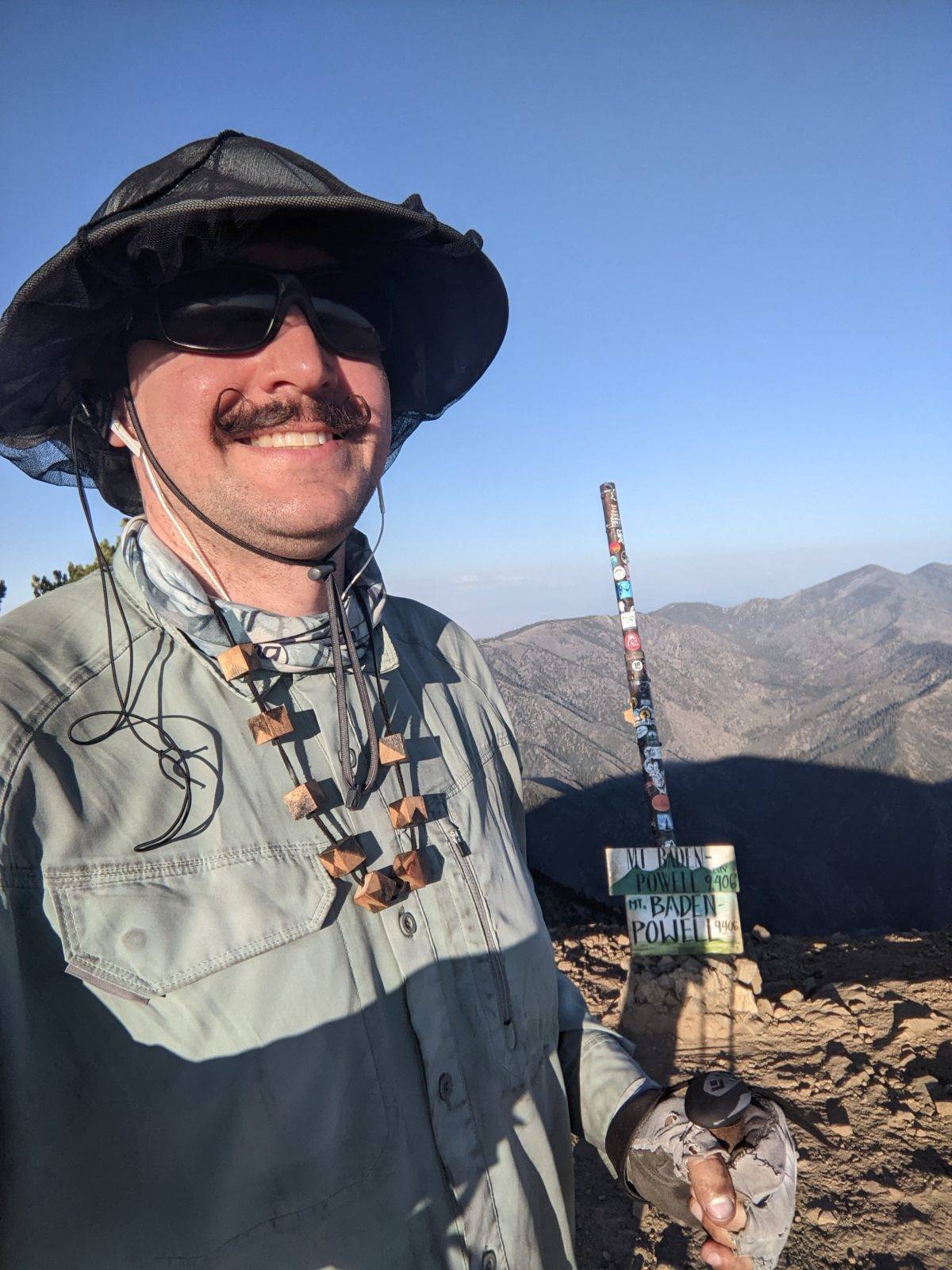
But finally, late in the day, I found myself at the edge of everything, the intersection with the narrow ridge where began the side trail to the summit of Mt. Baden-Powell, the highest peak along the trail through the Angeles Crest. So I dropped my pack on a dead tree and went on up to see the view. There was a monument to Baden-Powell himself and the Boy Scouts generally just below the summit. And though the visibility wasn’t perfect, I could see quite far. Just like I had with the trail all day, I had the peak to myself.
I stopped for dinner on a random uncomfortable rock with a tiny sliver of shade. I had eaten the burrito and the rice the night before without really planned on a second dinner. I had thought I would be done already. But I had a packet of chicken leftover from the last section and a few more tortillas, so I wrapped the former with the latter, supplemented it with one of the few remaining cereal bars and some cookie butter, and called it dinner.
I no longer felt it was feasible to get back to the LA Valley that same night, nor did I need to. I didn’t have a hotel booked for that night, nor did I desire to pay for one when there were tentsites marked on the map on the trail down to the highway.
I started down as the sun was setting. The trail from the peak to the highway is nothing but several dozen well-maintained switchbacks, all at the same steepness. I stopped at the lowest marked tentsite on the 19th switchback down–about 2/3 the way up the mountain from the road by altitude–because comments indicated there were no good sites below a certain level. It was a decently flat site, and put me in a good place to reach the road early in the morning so I could hitch back to LA before I completely starved.
Trail miles: 12.7
Distance to Vincent Gap: 2.9 miles


