I woke up at 6 or before, but didn’t really rush into action. All those jalapeños from dinner had some rushing to do, so I couldn’t go anywhere fast. But I did retape my feet, all hiking clothes out and on (wearing the other socks this time), and applied sunscreen before going down to the lobby to grab some breakfast items and coffee to go with the soda I bought from the vending for way too much. I checked out at 11am and called a Lyft.
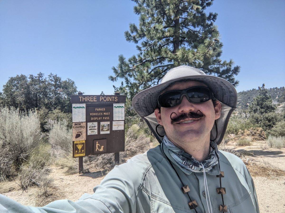
Ilia picked me up a few minutes later and drove me up the Angeles Crest Highway to the trailhead. Surprisingly, this trip only cost a little over 30 bucks (plus tip). Ilia was a regular visitor to the mountains herself, and had hiked and ridden up there many times before. She even wanted a picture of the trailhead sign before she left.
I didn’t start hiking as soon as I arrived. I needed some time to settle after all the twisty turning of the highway up and there were still some jalapeños in me. And it was basically lunchtime anyway, so I sat under a tree at the edge of the parking lot and did that. But soon enough, I went back down to the road along a familiar piece of trail, crossed the road, and started climbing.
Just a short little jaunt up the hill, I came to a fork. The PCT went left to stay close to the highway, then up a Cooper Canyon before an endangered species closure forced diversion down to Buckhorn Camp. Another trail went to the right around the back side of a Waterman Mountain, climbing up and over its shoulder before descending to Buckhorn Camp. Since they both ended up in the same place after the same distance, I took the trail to the right to get further from the highway.
The trail was in decent shape despite being in the heart of the burned area. The clouds were gone and the haze seemed to be less in the mountains, and it was shaping up to be a hot one. So it was sweaty, dusty work, but it was nice when a breeze blew or a not-dead-burnt tree shaded the trail for a moment. The boulders were nice to look at though, and there were some reasonably good views.
Between lunch and shady snack stops, I had used up my water by the time I had descended to the intersection with the side trail to Twin Peaks where the switchbacks up to the ridge began. I drank the last of it while eating that enormous burrito I had carried out of Salsa and Beer. (Backstory: It had come in a huge plastic to-go box that didn’t fit in my bear can, including sides of rice, sour-cream-coated lettuce, and a separate bag of tortilla chips. When I pulled it out of the fridge that morning, I wrapped the burrito in the hotel laundry bag from the closet, put the rice in a zip-loc, ate the salad, and put the chips in the bear can as-is. I had eaten half the chips with lunch because they went so well with the limes I always pack. I ate the rice with the burrito, but in retrospect I should have saved it.) I had passed a spot where there were copious ferns growing and the trail was soft with mud, but the seep hadn’t been strong enough to collect from. Luckily, the sun had come down enough in the late afternoon to put this particular mountain face in shadow basically all the way up and down the other side. And it was less than three miles to the camp.
It wasn’t a bad climb and I was over it and down before it had gotten painful or tedious. I dropped down to the road before the trailhead as the entrance to Buckhorn Campground was directly across the highway here. After a short walk on a paved road, I dropped my pack on the table at empty campsite #3 and walked over to the spigot with my water bag. Didn’t even have to filter it.
I wasn’t done for the night yet, though. For one thing, I wanted to be close enough to my exfil point that I could finish the section reasonably early the next day. For another, I didn’t want to spend 12 dollars to spend the night next to all these car campers and their campfires. I needed to walk a couple of miles along the highway to bypass the endangered species closure along the creek and return to the PCT proper, so I packed up my full water bag and walked out of the campground.
The sun had set and twilight faded as I moved down the side of the road. I could clearly see the lights on in a building on the hill that looked like a house but was a part of the scandalous and nearly defunct Snow Crest ski area. A few cars passed even at this late hour, which gave me hope for the late hitchhike out the next day. Then, strangely, one of them just stopped on the road across from me and opened the window. A Tesla Roadster, no less, whose driver thought it strange to see someone walking down the road at that hour. After a brief exchange, I accepted a ride down the road one mile to the Eagles Roost Picnic Area, where the PCT crossed the highway. Any opportunity to skip a boring and potentially dangerous roadwalk, you know.
Having never been in a Tesla Roadster (because my friends aren’t fancy and fancy cars never stop for hitchhikers), I had no idea how to open the door. Turns out you have to push in part of the handle so the other end pops out, like the lid on a can of coffee creamer. The driver was Oleg, a young Russian immigrant with his friend whose name I forget (Pyotr?) because he didn’t speak English at all. He wanted to know everything about me in under five minutes and seemed disappointed by how quickly that mile flew by thanks to the Roadster and his driving.
The trail started again just past the storage shed at the end of the parking area, and switchbacked up the hill a few times before heading out along the ridge and descending into a saddle with a lot of flat tent sites, less than a mile total. This whole piece I actually got out my headlamp for. I planted my tent just off the trail in a nice flat spot of sandy soil. It was just barely too soft to hold onto my stakes, but there were plenty of rocks there to weight them down.
It was already 10pm by the time I got under my sleeping bag and my body was ready to sleep on that same old schedule. I skipped doing any writing and got behind by yet another day so I could get some shut eye. There would be some travel days to get caught up later.
Trail miles: 13.4
Distance to Vincent Gap: 15.6 miles


2 replies on “Day 66: Ridge Near Eagles Roost Picnic Area”
Can’t believe you didn’t get a picture of the TESLA!
I always thought those Tesla handles were some fancy automatic thing like the step boards that drop down when you open the door of an expensive truck so I was really disappointed the first time a kid’s parent picked them up in a Tesla and and the handle didn’t pop out for me and it turned out to be some stupid thing where I have to push the back of the handle to make the front part pop out and then it turns into a 1950s refrigerator door handle.