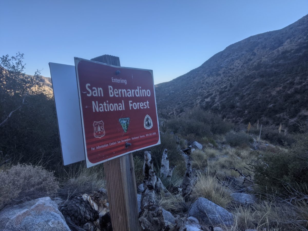
Although the cold winds were still blowing in the morning, making it hard to get going and packed up, I still managed to get hiking by 9 and it was nice enough once I got into the warmth of the sun.
The first few miles were the same kind of hiking as the previous day: wide open walking on the sides of ridges. Vistas for miles and interesting things to see near the trail. But after 6 miles, I entered the top of Mission Creek canyon.
I was excited to reach this point because, according to the elevation profile, I had a solid 14 straight mile descent to look forward to (canceling out all at once the steady climbing I had been doing over the last 60 miles and four days–Big Bear Lake is waaaaay up there). And at first, it wasn’t so bad. There were a decent number of deadfalls in the trail and places where the trail was slightly unclear and it had a tendency to wander up the side of the ridge and then back down into the canyon again, calling for more climbing than I had expected, but I was still making decent progress.
I stopped at the top of one such random climb for lunch. I sat down on a rock step directly in the trail. There was no shade anywhere, but I enjoyed the sun. I finished my lunch and, a mile later, had descended back to the floor of the canyon.
Still, it was nice. The canyon was widening, the trail was clear and easy. Until I came to the water.
It was a bit of a mess with the plant growth down at the water, sure, but I was running low, so I was glad to see it. I stopped to filter and fill up. Then I walked into the brush.
I lost the trail immediately. I crossed the creek, came out the other side of the brush, used the GPS to track down the trail again in the water-carved dirt flats that followed.
There were occasional tall markers standing up that I could scan the canyon for once I got out in the open, then wander across the flats, look for a place to jump the creek, get on something that looked like a trail again for a few hundred feet, then arrive at another creek crossing and stand of brush to repeat the process.
Anywhere else, the water waypoint markers on Guthook would have been cause for celebration and excitement, but here I quickly learned to hate them. My pace was instantly halved. I was miles short of my intended campsite when the sun started setting.
Eventually, the sun was well gone, and I came to a sandy wash near the creek. It was open and possible to camp in. I didn’t want to camp too near the water, but anywhere else was canted. I couldn’t keep hiking for a better site by headlamp because the trail was about to get lost in the brush again and I wouldn’t be able to see far enough to spot the markers. After some exploring, I eventually picked the most level cleared spot I could up the hill and set up.
A few hours later, I was asleep, eager to be free of the canyon in the morning.
Total distance: 14 miles


One reply on “Nov. 24: The Miserable Mission Creek”
This would make me a nervous wreck! This would be the part of the trail where I would sit down and started squalling hoping against hope that someone would come along and rescue me!